


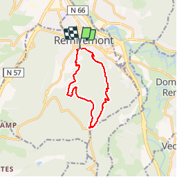


23 km | 33 km-effort

User


FREE GPS app for hiking
 SityTrail
IGN / Geographical institutes
SityTrail World
The world is yours!
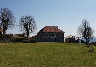
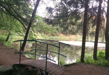
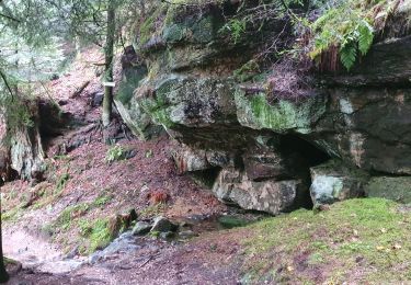
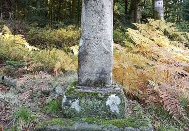
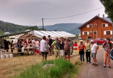
Trail Walking of 10 km to be discovered at Grand Est, Vosges, Remiremont. This trail is proposed by jeanclaude12.
Randonnée facile de dix kilomètres au départ du Champ de Mars de Remiremont vers le Chalet des Gardes par la Grange de la Motte et le Sentier des Poudingues. Retour par les Sentiers des Gardes et des Bruyères via la Goutte du Founot et le Calvaire.


Walking
Walking
Walking
Walking
On foot
Walking
Walking

Walking