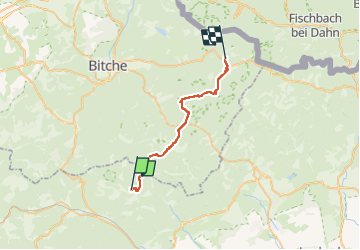

22 km | 29 km-effort


User


FREE GPS app for hiking
 SityTrail
IGN / Geographical institutes
SityTrail World
The world is yours!
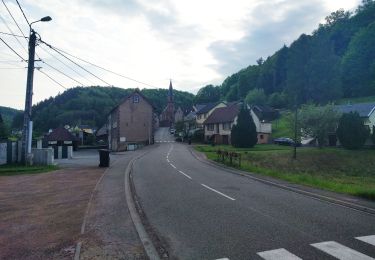
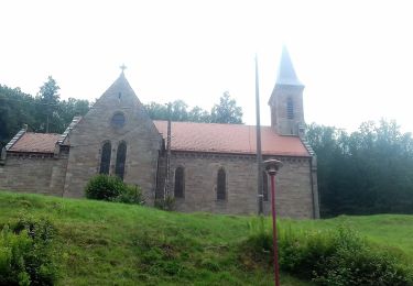
Trail On foot of 25 km to be discovered at Grand Est, Bas-Rhin, Reipertswiller. This trail is proposed by MathieuBourgois.
Château de Ramstein 10km 324D 287D-
Château de Waldeck 15km 500D 430D-
Château de Rotenburg 19km 630D 550D-
Sturzelbronn Refuge le Flibustier 25km 750D 735D-

Horseback riding

On foot
On foot
On foot

On foot
On foot
On foot