


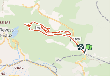


14.1 km | 21 km-effort

User


FREE GPS app for hiking
 SityTrail
IGN / Geographical institutes
SityTrail World
The world is yours!
Trail Walking of 9.7 km to be discovered at Provence-Alpes-Côte d'Azur, Var, La Valette-du-Var. This trail is proposed by Daniel.BRUN-PICARD.
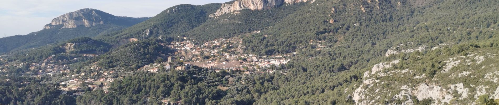
Randonnée découverte d'anciens villages et hameaux. Merci à l'animateur du Touring Club du Var qui nous a guidé et donné quelques explications historiques.


23 photos in total. Please click on a photo to see them all in the gallery.

Walking

Walking

Walking

Walking

Walking

Walking

Walking

Walking

Walking