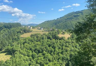
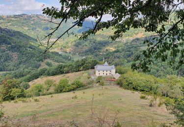
4.2 km | 5.8 km-effort
12_Lo_Camin_d_Olt__J2
jab31
User
Length
7.9 km
Max alt
681 m
Uphill gradient
320 m
Km-Effort
12.7 km
Min alt
374 m
Downhill gradient
461 m
Boucle
No
Creation date :
2023-01-14 13:50:09.625
Updated on :
2023-03-15 18:05:34.649
5h11
Difficulty : Very difficult
FREE GPS app for hiking
About
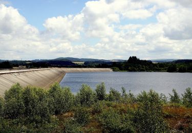
Trail Walking of 7.9 km to be discovered at Occitania, Aveyron, Saint-Hippolyte. This trail is proposed by jab31.
Positioning
Country:
France
Region :
Occitania
Department/Province :
Aveyron
Municipality :
Saint-Hippolyte
Location:
Unknown
Start:(Dec)
Start:(UTM)
467600 ; 4950907 (31T) N.
Comments
Trails nearby
Le batut 1
Mountain bike
Medium
Murols,
Occitania,
Aveyron,
France
19.1 km | 30 km-effort
3h 18min
Yes
Chateau et puech de Poujol
Walking
Medium
Saint-Hippolyte,
Occitania,
Aveyron,
France
6.6 km | 10.8 km-effort
3h 46min
Yes
Tour de couesque
Mountain bike
Campouriez,
Occitania,
Aveyron,
France
38 km | 57 km-effort
3h 5min
Yes
12_valon_ginolhac_2024
Walking
Very difficult
Lacroix-Barrez,
Occitania,
Aveyron,
France
21 km | 34 km-effort
7h 39min
No
Vallon, les gorges de la Thruyère
Walking
Medium
Lacroix-Barrez,
Occitania,
Aveyron,
France
8.3 km | 13.3 km-effort
2h 41min
Yes
2023-07-31_21h48m29_Cirkwi-La_retenue_de_Couesques
Walking
Very difficult
Saint-Hippolyte,
Occitania,
Aveyron,
France
13.7 km | 20 km-effort
4h 35min
Yes
2023-07-31_21h44m03_Cirkwi-Bez-Bédène
Walking
Easy
Campouriez,
Occitania,
Aveyron,
France
3 km | 5.2 km-effort
1h 10min
Yes
Murols(12)/Figeac(46)
Quad
Very easy
Murols,
Occitania,
Aveyron,
France
91 km | 117 km-effort
3h 43min
No