


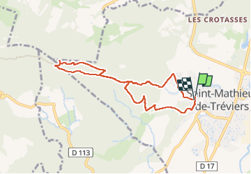

9.9 km | 15.1 km-effort

User


FREE GPS app for hiking
 SityTrail
IGN / Geographical institutes
SityTrail World
The world is yours!
Trail Walking of 8.1 km to be discovered at Occitania, Hérault, Saint-Mathieu-de-Tréviers. This trail is proposed by RANDO 2 ARS.
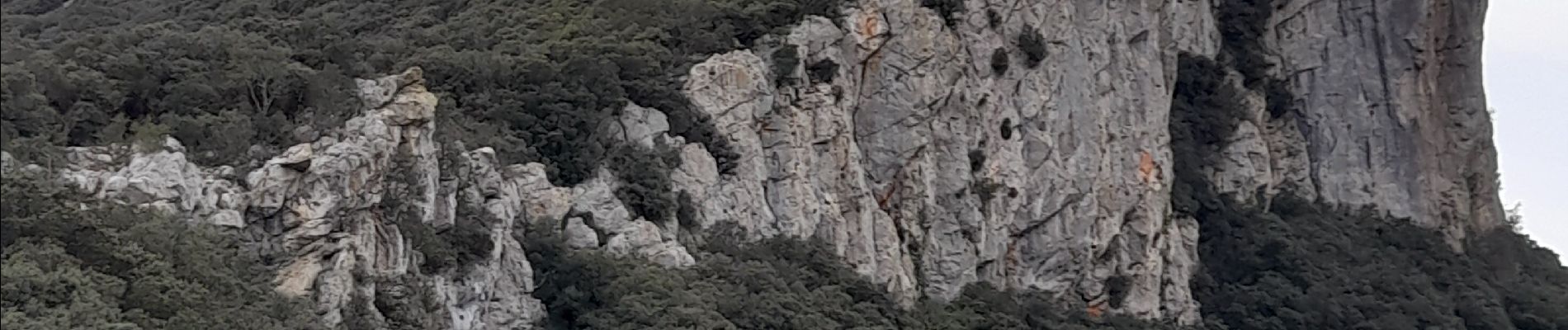
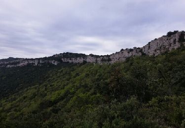
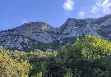
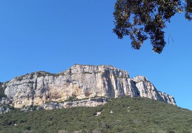
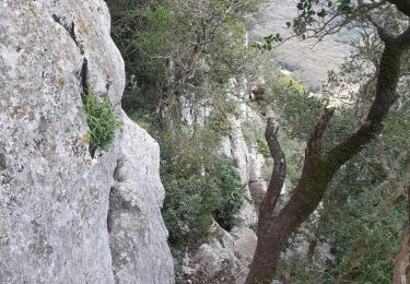
la seule relative difficulté : le sol trés trés caillouteux .Sinon belles vues sur le château de Montferrand et sur le pic St Loup , beau panorame sur la plaine et la mer.


Walking

Walking
Walking
Walking
Walking
Walking
Walking
Walking
Walking