


10.3 km | 13.1 km-effort


User


FREE GPS app for hiking
 SityTrail
IGN / Geographical institutes
SityTrail World
The world is yours!
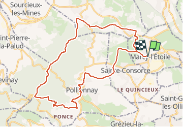
Trail Walking of 22 km to be discovered at Auvergne-Rhône-Alpes, Métropole de Lyon, Marcy-l'Étoile. This trail is proposed by Maryma.
tracé extrait du topo guide FFR "Le Grand Lyon...à pied" intitulé "A l'assaut dus monts du Lyonnais"
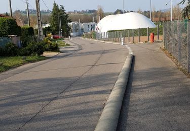
Du goudron en début et fin de parcours. Pas trop gênant car pas de circulation. Beaucoup de chevaux dans les champs et écuries.
Le parcours sur les chemins est très agréable.
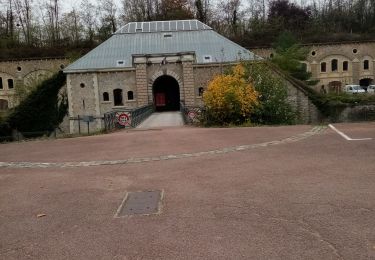
Walking

Walking
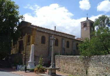
Walking
Walking

Walking

Walking

Horseback riding

Mountain bike
Mountain bike