


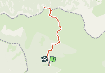

6.7 km | 13.6 km-effort

User


FREE GPS app for hiking
 SityTrail
IGN / Geographical institutes
SityTrail World
The world is yours!
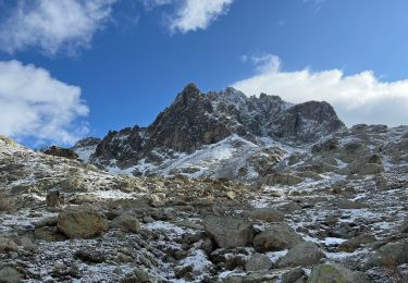
Trail Snowshoes of 8.8 km to be discovered at Provence-Alpes-Côte d'Azur, Maritime Alps, Belvédère. This trail is proposed by bozo1970.
Montée par les vacheries de Ferisson
Baisse de Férisson en 1h30'
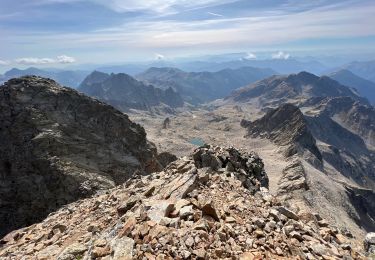
Sommet en 1h50'
D 621 et 4,5 km
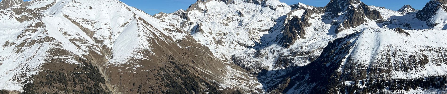
Peu de neige
Superbe vue à 360


On foot

Walking

Walking

On foot

Walking
Other activity
Walking
Walking
Walking