9.4 km | 13.8 km-effort
ballade 28 dec
josy31
User
Length
6.2 km
Max alt
1069 m
Uphill gradient
192 m
Km-Effort
8.8 km
Min alt
954 m
Downhill gradient
188 m
Boucle
Yes
Creation date :
2022-12-28 13:07:14.542
Updated on :
2023-01-04 11:25:04.834
2h06
Difficulty : Medium
FREE GPS app for hiking
About
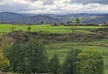
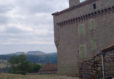
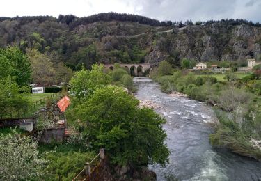
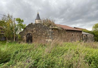
Trail Walking of 6.2 km to be discovered at Auvergne-Rhône-Alpes, Haute-Loire, Saint-Christophe-d'Allier. This trail is proposed by josy31.
Positioning
Country:
France
Region :
Auvergne-Rhône-Alpes
Department/Province :
Haute-Loire
Municipality :
Saint-Christophe-d'Allier
Location:
Unknown
Start:(Dec)
Start:(UTM)
555592 ; 4967229 (31T) N.
Comments
Trails nearby
Saint Haon GR 470
Walking
Difficult
Saint-Haon,
Auvergne-Rhône-Alpes,
Haute-Loire,
France
2h 43min
No
le nouveau Monde
Walking
Medium
Saint-Haon,
Auvergne-Rhône-Alpes,
Haute-Loire,
France
9.1 km | 13.3 km-effort
2h 52min
Yes
Le Chapeauroux
Walking
Medium
Saint Bonnet-Laval,
Occitania,
Lozère,
France
14.3 km | 21 km-effort
4h 41min
Yes
GR 470 Pourcheresse / Chapeauroux
Walking
Medium
Alleyras,
Auvergne-Rhône-Alpes,
Haute-Loire,
France
17.4 km | 24 km-effort
5h 8min
No
Les bords de l'Allier
On foot
Easy
Saint-Christophe-d'Allier,
Auvergne-Rhône-Alpes,
Haute-Loire,
France
9.8 km | 13.4 km-effort
3h 3min
Yes
chapeauroux
Walking
Difficult
Saint Bonnet-Laval,
Occitania,
Lozère,
France
17 km | 26 km-effort
5h 58min
No
chambon le chateau
Walking
Medium
Bel-Air-Val-d'Ance,
Occitania,
Lozère,
France
8.7 km | 10.9 km-effort
2h 18min
Yes
Sodo fin rouluraid 2024
Mountain bike
Easy
Saint-Christophe-d'Allier,
Auvergne-Rhône-Alpes,
Haute-Loire,
France
12.4 km | 16.2 km-effort
2h 4min
Yes
GR470 Chapeauroux/Landos
Walking
Difficult
Saint Bonnet-Laval,
Occitania,
Lozère,
France
12.4 km | 18.1 km-effort
4h 7min
No