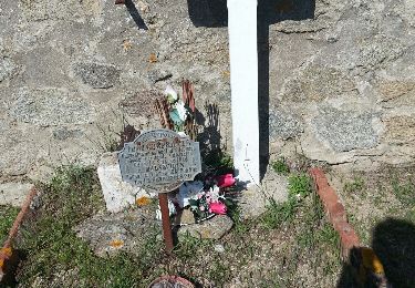
Trail Walking la Jonquera - CANADAL STE LUCIE MARDI BIS - Photo

CANADAL STE LUCIE MARDI BIS

© OpenStreetMap contributors
Length
Length
9.5 km
Max alt
Max alt
438 m
Uphill gradient
Uphill gradient
299 m
Km-Effort
Km-Effort  
13.5 km
Min alt
Min alt
165 m
Downhill gradient
Downhill gradient
300 m
Boucle
Boucle
Yes
Creation date :
2023-01-03 19:02:58.632
Updated on :
2023-04-13 08:28:34.248

(0 Reviews)

Walking
Walking
3h03
Difficulty : Medium

Scan this QR Code to open this trail in the SityTrail application

FREE GPS app for hiking

Logo SityTrail SityTrail

IGN / Geographical institutes

Download SityTrail from the App Store Download SityTrail from Google Play

Logo SityTrail SityTrail World

The world is yours!

Download SityTrail from the App Store Download SityTrail from Google Play Download SityTrail on Huawei AppGallery

About

Trail Walking of 9.5 km to be discovered at Catalonia, Girona, la Jonquera. This trail is proposed by MarcOBRECHT.

Description

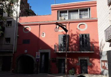
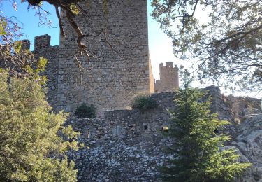
De Canadal
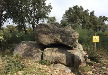
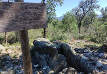
Dolmen
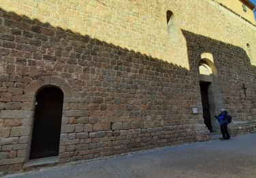
Chapelle Ste Lucie
descente par GR
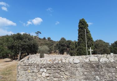
Canadal

Elevation profile

Positioning

Country:
Spain
Region :
Catalonia
Department/Province :
Girona
Municipality :
la Jonquera
Location:
Unknown
Start:(UTM)
490397 ; 4695337 (31T) N.

Trails nearby

Trail On foot la Jonquera - Marxa dels dòlmens i ruta dels estanys - Photo
On foot
GUIDE+

On foot

Easy
la Jonquera, Catalonia, Girona, Spain
11.5 km | 14.5 km-effort
3h 17min
Yes
Trail On foot Capmany - Itinerari megalític de Campmany - Photo
On foot
GUIDE+

On foot

Easy
Capmany, Catalonia, Girona, Spain
10.5 km | 12.6 km-effort
2h 51min
Yes
Trail On foot la Jonquera - PR-C 71 La Jonquera-Portbou - Photo
On foot
GUIDE+

On foot

Very difficult
la Jonquera, Catalonia, Girona, Spain
39 km | 68 km-effort
15h 26min
No
Trail Walking la Jonquera - CIRCUIT DES MÉGALITHES depuis EL FOGON - Photo
Walking
MarcOBRECHT

Walking

Easy
la Jonquera, Catalonia, Girona, Spain
11.1 km | 13.1 km-effort
2h 57min
Yes
Trail Walking Darnius - darnius - Photo
Walking
66Gribouille83

Walking

Very difficult
Darnius, Catalonia, Girona, Spain
14.3 km | 21 km-effort
6h 19min
Yes
Trail Walking la Jonquera - 20230112 Site mégalithique- château Requesens  - Photo
Walking
ThonyM

Walking

Medium
la Jonquera, Catalonia, Girona, Spain
23 km | 30 km-effort
5h 27min
Yes
Trail Walking Le Perthus - palissades.  la carboniere . fort de bellegrade . panissars - Photo
Walking
GUIDE
stef789

Walking

Easy
Le Perthus, Occitania, Pyrénées-Orientales, France
9.8 km | 13.5 km-effort
3h 23min
Yes
Trail Walking Le Perthus - Panissars_Fort-Belgarde - Photo
Walking
force

Walking

Easy
Le Perthus, Occitania, Pyrénées-Orientales, France
10.7 km | 14.8 km-effort
3h 29min
Yes
Trail Walking Le Perthus - 66 LE PERTHUS - col de Panissars - GR10 - pistes - fort de Bellegarde  - Photo
Walking
jeff66

Walking

Medium
Le Perthus, Occitania, Pyrénées-Orientales, France
9.5 km | 13.3 km-effort
1h 43min
Yes


Close
My subscriptions