


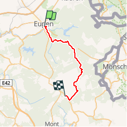

21 km | 26 km-effort


User


FREE GPS app for hiking
 SityTrail
IGN / Geographical institutes
SityTrail World
The world is yours!
Trail Walking of 25 km to be discovered at Wallonia, Liège, Eupen. This trail is proposed by jojolemarcheur.
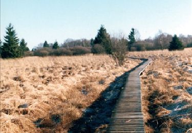
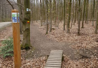
GR 573 : Vesdre - Hoëgne -Helle et Hautes Fagnes. Parcours sauvage le long de la Helle puis assez dificile dans la Haute Fagne pour marcher (caillebotis endommagé ou manquant).
Walking

Walking

Walking
Walking

Walking
Walking

Walking
Walking

Walking