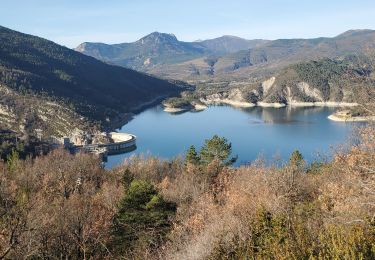
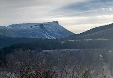
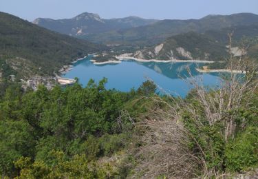
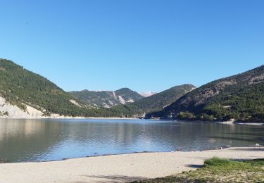
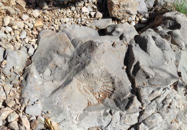
10.5 km | 16.2 km-effort
fyiok
Clo0413
User
Length
10.1 km
Max alt
1236 m
Uphill gradient
430 m
Km-Effort
15.8 km
Min alt
989 m
Downhill gradient
430 m
Boucle
Yes
Creation date :
2023-01-02 08:13:38.156
Updated on :
2023-01-02 16:07:32.455
3h17
Difficulty : Difficult
FREE GPS app for hiking
About
Trail Walking of 10.1 km to be discovered at Provence-Alpes-Côte d'Azur, Alpes-de-Haute-Provence, Vergons. This trail is proposed by Clo0413.
Positioning
Country:
France
Region :
Provence-Alpes-Côte d'Azur
Department/Province :
Alpes-de-Haute-Provence
Municipality :
Vergons
Location:
Unknown
Start:(Dec)
Start:(UTM)
304380 ; 4865303 (32T) N.
Comments
Trails nearby
2024-10-04 Barre de Pidanoux
Walking
Difficult
Saint-Julien-du-Verdon,
Provence-Alpes-Côte d'Azur,
Alpes-de-Haute-Provence,
France
3h 41min
Yes
Belvédère du Pidanoux
On foot
Easy
Saint-Julien-du-Verdon,
Provence-Alpes-Côte d'Azur,
Alpes-de-Haute-Provence,
France
7.5 km | 11.7 km-effort
2h 39min
Yes
Demandolx cremon 1000m 16kms
Walking
Very difficult
Demandolx,
Provence-Alpes-Côte d'Azur,
Alpes-de-Haute-Provence,
France
14.8 km | 27 km-effort
8h 5min
Yes
SAINT ANDRE LES ALPES . COURCHONS O S
Walking
Medium
(1)
Saint-André-les-Alpes,
Provence-Alpes-Côte d'Azur,
Alpes-de-Haute-Provence,
France
13.7 km | 22 km-effort
4h 12min
Yes
le hameau de ville
Walking
Easy
Demandolx,
Provence-Alpes-Côte d'Azur,
Alpes-de-Haute-Provence,
France
4.3 km | 7.8 km-effort
2h 2min
Yes
vergons par col de l iscle
Other activity
Very easy
(1)
Vergons,
Provence-Alpes-Côte d'Azur,
Alpes-de-Haute-Provence,
France
28 km | 44 km-effort
2h 30min
Yes
angles chamate 914m 14kms
Walking
Medium
Angles,
Provence-Alpes-Côte d'Azur,
Alpes-de-Haute-Provence,
France
13.7 km | 25 km-effort
6h 17min
Yes
Dimanche 14 avril 2024
Walking
Medium
Saint-André-les-Alpes,
Provence-Alpes-Côte d'Azur,
Alpes-de-Haute-Provence,
France
15.1 km | 20 km-effort
7h 54min
Yes
Mandarom l'acide castillion
Walking
Medium
Castellane,
Provence-Alpes-Côte d'Azur,
Alpes-de-Haute-Provence,
France
13.5 km | 20 km-effort
4h 4min
Yes