


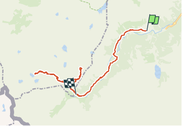

11.4 km | 17.5 km-effort

User GUIDE


FREE GPS app for hiking
 SityTrail
IGN / Geographical institutes
SityTrail World
The world is yours!
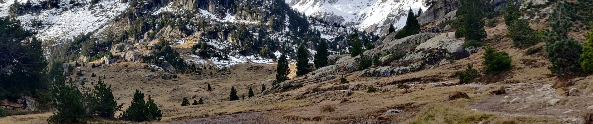
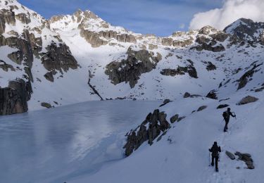
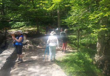
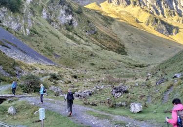
Trail Walking of 17.3 km to be discovered at Occitania, Hautespyrenees, Cauterets. This trail is proposed by holtzv.
En passant par le plateau du Clot, la vallée du Marcadou, le sommet de Cardinquère et le plateau des lacs (Opales et Cambales) avant de revenir vers le refuge Wallon-Marcadau


Walking

Walking

Walking

Walking
Walking

Walking

Walking
Walking
Walking