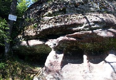
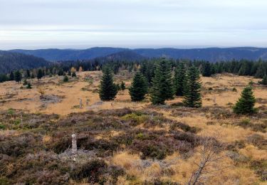
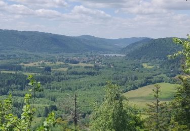
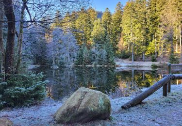
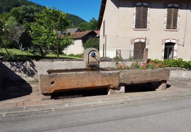
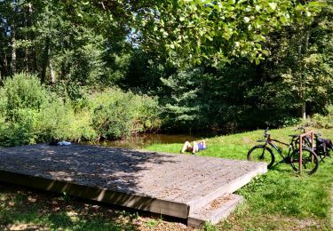
12.6 km | 16.9 km-effort
maix-chaumes-haute loge-retour prayé
Titinechris
User
Length
14.3 km
Max alt
925 m
Uphill gradient
444 m
Km-Effort
20 km
Min alt
683 m
Downhill gradient
446 m
Boucle
Yes
Creation date :
2022-12-25 20:24:39.33
Updated on :
2022-12-31 09:46:12.442
4h36
Difficulty : Medium
FREE GPS app for hiking
About
Trail Walking of 14.3 km to be discovered at Grand Est, Vosges, Vexaincourt. This trail is proposed by Titinechris.
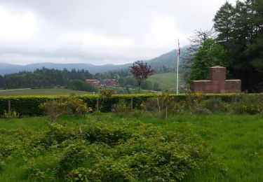
Positioning
Country:
France
Region :
Grand Est
Department/Province :
Vosges
Municipality :
Vexaincourt
Location:
Unknown
Start:(Dec)
Start:(UTM)
357727 ; 5371053 (32U) N.
Comments
Trails nearby
Donon sentier des casemates - sud
Walking
Medium
(1)
Grandfontaine,
Grand Est,
Bas-Rhin,
France
4h 13min
Yes
Col de Prayé
Walking
Difficult
(1)
Moussey,
Grand Est,
Vosges,
France
16.8 km | 23 km-effort
6h 55min
Yes
2022-11-12 Marche Grandfontaine Tête Mathis Col de Praye La Corbeille
Walking
Medium
Grandfontaine,
Grand Est,
Bas-Rhin,
France
15.3 km | 23 km-effort
4h 34min
Yes
2019-06-08 Marche Allarmont et ses rochers
Walking
Very easy
Allarmont,
Grand Est,
Vosges,
France
10.7 km | 16.5 km-effort
2h 55min
Yes
Etang du Coucou - Château de Salm - Chatte pendue - Haute Loge - Chapelle Bip...
Walking
Very difficult
La Broque,
Grand Est,
Bas-Rhin,
France
19.9 km | 29 km-effort
6h 32min
Yes
Col du Donon-lac de la Maix
Walking
Very difficult
(2)
Grandfontaine,
Grand Est,
Bas-Rhin,
France
16.3 km | 21 km-effort
4h 52min
Yes
Vexaincourt - lac et chapelle de la Maix
Walking
Medium
Vexaincourt,
Grand Est,
Vosges,
France
16.3 km | 24 km-effort
3h 50min
Yes
fady col de praye
Horseback riding
Difficult
Moussey,
Grand Est,
Vosges,
France
30 km | 41 km-effort
4h 58min
Yes
2021-09-06 Sortie VTT Raon sur Plaine Raon Etape
Mountain bike
Very difficult
Raon-sur-Plaine,
Grand Est,
Vosges,
France
62 km | 73 km-effort
3h 34min
Yes