


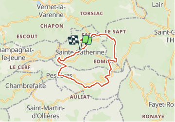

12.5 km | 17.7 km-effort


User GUIDE


FREE GPS app for hiking
 SityTrail
IGN / Geographical institutes
SityTrail World
The world is yours!
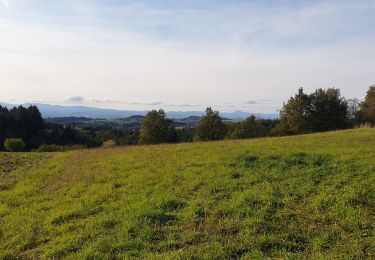
Trail Walking of 12.7 km to be discovered at Auvergne-Rhône-Alpes, Puy-de-Dôme, Sainte-Catherine. This trail is proposed by jagarnier.
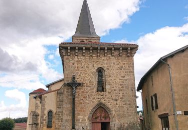
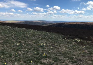
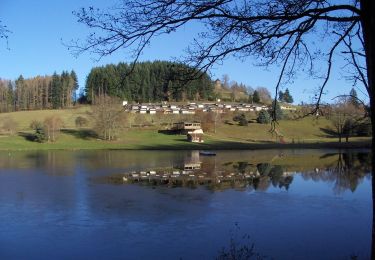
Une randonnée sur les hautes terres de Ste-Catherine (église du XIVème) avec des vues panoramiques sur les monts Dôme, les monts Dore et le Cézallier. Deux belles croix aux hameaux du Moulin à Vent et Peslières.

On foot
On foot
Walking

Equestrian

On foot
On foot
Walking
Walking
Motorbike