


52 km | 63 km-effort


User


FREE GPS app for hiking
 SityTrail
IGN / Geographical institutes
SityTrail World
The world is yours!
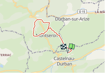
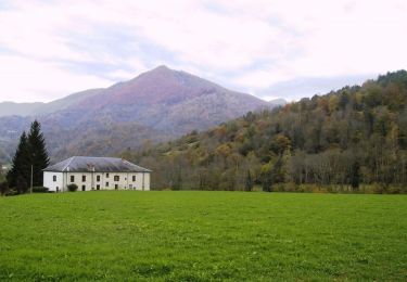
Trail Walking of 6.7 km to be discovered at Occitania, Ariège, Castelnau-Durban. This trail is proposed by Jean-Paul Raton.
départ de Castelnau Durban ,nous montons vers Monseron en passant par la ferme de Lazon; on fait le tour de Monseron avec une jolie vue sur le chateau st Barthelemi, de Durban puis retour par le même chemin. 6kms700 et 270 mètres de dénivelé.
Electric bike
Mountain bike
Equestrian
Equestrian
Equestrian
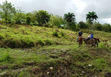
Equestrian

Walking
Walking
Walking