


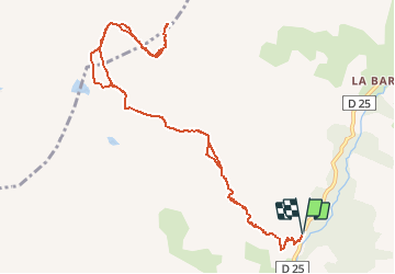

16.7 km | 31 km-effort


User


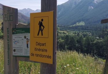
FREE GPS app for hiking
 SityTrail
IGN / Geographical institutes
SityTrail World
The world is yours!
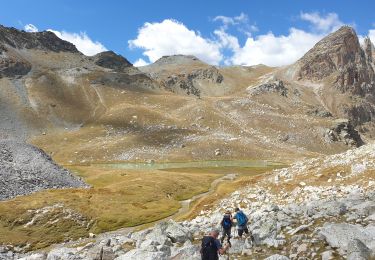
Trail Walking of 13 km to be discovered at Provence-Alpes-Côte d'Azur, Alpes-de-Haute-Provence, Saint-Paul-sur-Ubaye. This trail is proposed by GAPIAN43.
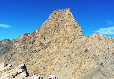
Se garer vers la cote 1720 à la Blachière sur la route qui monte à Maljasset. Un sentier très raide dès le départ remonte dans le bois le long du torrent des Houerts. Dur dur, Heureusement quelques belles cascades agémentent la montée. À la cote 2297 sur un relpat, vous pouvez apercevoir sur la gauche la cabane des Houerts, restaurée, qui peut servir de bivouac pour couper la rando. Confort Sparciate. Au-dessus de la cabane, vous aurez peut-être la chance d'apercevoir quelques bouquetins. Vers 2750 quitter le sentier qui monte vers le col des Houerts bien visible devant vous, et partir dans une longue courbe sur la droite. Suivre au mieux une trace pas toujours évidente jusqu'au petit col sous le côté 3015. De la partir sur la gauche (nord nord-est) Conque du Panestrel qui domine un à-pic vertigineux sur Maljasset. Les 100 derniers mètres sont constitués de petites côtes rocheuses séparées par de petits couloirs. Remonter l’un des couloirs (traces) en posant les mains sur les rochers. Cette partie est plus impressionnante que difficile. Magnifique panorama sur un sommet aérien. Le relais du secours en montage gâche un peu le lieu, mais c’est pour une bonne cause.
Descente par le même itinéraire.

Walking
On foot

Other activity
Walking

Walking
Walking
Snowshoes
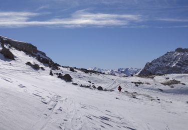
Touring skiing
Walking
J'ai moi-même fait le Panestrel et il est déconseillé aux randonneurs qui ne sont pas habitués à la haute montagne et à la progression sur des pentes raides et des rochers instables. Pas de chemins mais quelques cairn disposés de ci de là qui sont pas toujours de confiance.