


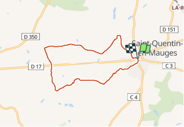

38 km | 43 km-effort


User


FREE GPS app for hiking
 SityTrail
IGN / Geographical institutes
SityTrail World
The world is yours!
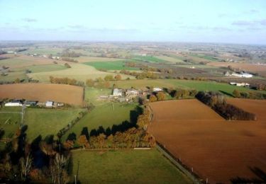
Trail Walking of 7.1 km to be discovered at Pays de la Loire, Maine-et-Loire, Montrevault-sur-Èvre. This trail is proposed by monted4460.
St Quentin en Mauges
Mountain bike

Walking

Running