


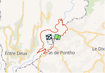

11.9 km | 24 km-effort


User


FREE GPS app for hiking
 SityTrail
IGN / Geographical institutes
SityTrail World
The world is yours!
Trail Running of 9.6 km to be discovered at Réunion, Unknown, Le Tampon. This trail is proposed by francejpp.
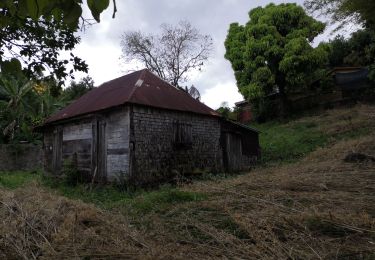
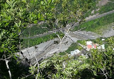
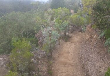
Départ du stade municipal de bras de Pontho descendre vers le chemin Dassy, pont de la liane, la riviere,îlet Canelle, la crête, la caver de la petite Ravine, remonté vers Pont d'Yves, redescente au stade
Walking
Walking
Walking
Walking
Walking

Walking
Walking
Walking
Walking