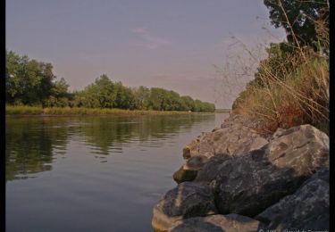
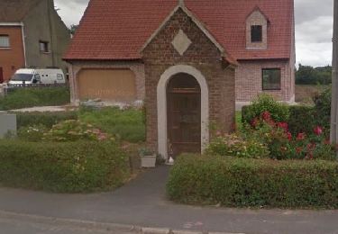
12.5 km | 13 km-effort
calonne sur la lys 13.7km 15/12/2022
eaea7charles
User
Length
13.8 km
Max alt
19 m
Uphill gradient
45 m
Km-Effort
14.4 km
Min alt
12 m
Downhill gradient
46 m
Boucle
Yes
Creation date :
2022-12-15 07:59:19.992
Updated on :
2022-12-15 11:06:25.158
2h46
Difficulty : Difficult
FREE GPS app for hiking
About
Trail Walking of 13.8 km to be discovered at Hauts-de-France, Pas-de-Calais, Calonne-sur-la-Lys. This trail is proposed by eaea7charles.
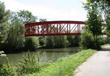
Positioning
Country:
France
Region :
Hauts-de-France
Department/Province :
Pas-de-Calais
Municipality :
Calonne-sur-la-Lys
Location:
Unknown
Start:(Dec)
Start:(UTM)
472956 ; 5607880 (31U) N.
Comments
Trails nearby
le_sentier_des_deux_ecluses
Other activity
Medium
Saint-Venant,
Hauts-de-France,
Pas-de-Calais,
France
Unknown
Yes
Sentier les tchiens - Robecq
Walking
Medium
(1)
Robecq,
Hauts-de-France,
Pas-de-Calais,
France
12 km | 12.7 km-effort
3h 0min
Yes
Circuit des rivières - Merville
Walking
Difficult
(1)
Merville,
Hauts-de-France,
Nord,
France
16.7 km | 17.6 km-effort
4h 15min
Yes
Lestrem des calvaires et chapelles 12 km
Walking
Easy
Lestrem,
Hauts-de-France,
Pas-de-Calais,
France
12.2 km | 12.8 km-effort
17min
Yes
Merville, au fil de l'eau
Nordic walking
Easy
Merville,
Hauts-de-France,
Nord,
France
4.2 km | 4.5 km-effort
55min
Yes
saint VENANT
Walking
Easy
Saint-Venant,
Hauts-de-France,
Pas-de-Calais,
France
12.5 km | 13.1 km-effort
2h 55min
Yes
Hinges le Pacault 8.1 km
Walking
Easy
(2)
Hinges,
Hauts-de-France,
Pas-de-Calais,
France
8.1 km | 8.7 km-effort
2h 0min
Yes
Robecq 12.7km (courte)
Walking
Difficult
Robecq,
Hauts-de-France,
Pas-de-Calais,
France
12.7 km | 13.3 km-effort
3h 1min
Yes