11.3 km | 14 km-effort
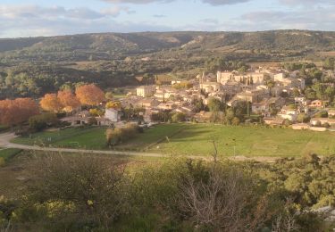
Valliguières Chapelle Saint-Piere
Dany1949
User
Length
15.2 km
Max alt
265 m
Uphill gradient
251 m
Km-Effort
18.5 km
Min alt
119 m
Downhill gradient
250 m
Boucle
Yes
Creation date :
2022-12-13 15:23:01.583
Updated on :
2022-12-13 15:27:45.072
4h12
Difficulty : Easy
FREE GPS app for hiking
About
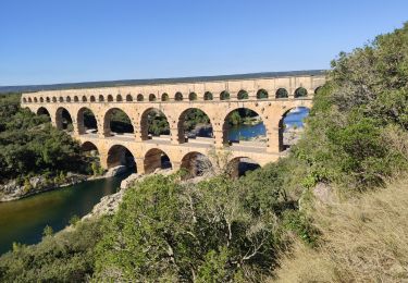
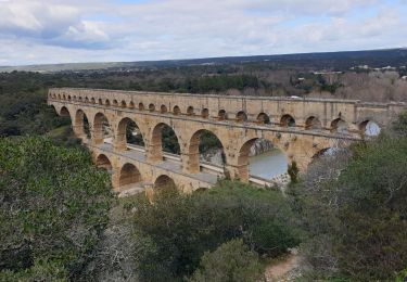
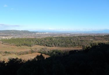
Trail On foot of 15.2 km to be discovered at Occitania, Gard, Valliguières. This trail is proposed by Dany1949.
Positioning
Country:
France
Region :
Occitania
Department/Province :
Gard
Municipality :
Valliguières
Location:
Unknown
Start:(Dec)
Start:(UTM)
626464 ; 4873580 (31T) N.
Comments
Trails nearby
Le sentier botanique - Pouzilhac
Walking
Difficult
(4)
Pouzilhac,
Occitania,
Gard,
France
3h 30min
Yes
Valliguières - St Pierre - Solidarité
Walking
Medium
(1)
Valliguières,
Occitania,
Gard,
France
5.6 km | 7 km-effort
1h 35min
Yes
Valliguières - Etang - St Pierre
Walking
Medium
(1)
Valliguières,
Occitania,
Gard,
France
7.3 km | 8.8 km-effort
2h 14min
Yes
Vers-pont-du-gard panorama-dfci
Walking
Medium
(2)
Vers-Pont-du-Gard,
Occitania,
Gard,
France
9.4 km | 11.5 km-effort
2h 31min
Yes
SAINT-HILAIRE-D OZILHAN - FORET DE VALLONGUE - 11.7Km - 03h20 - Dénivelé 250 m
Walking
Medium
(1)
Saint-Hilaire-d'Ozilhan,
Occitania,
Gard,
France
11.8 km | 14.7 km-effort
3h 14min
Yes
Vers-Pont-du-Guard
Walking
Easy
(2)
Vers-Pont-du-Gard,
Occitania,
Gard,
France
8.7 km | 10.6 km-effort
2h 17min
Yes
le-pont-du-gard-10km+175m.2024
Walking
Easy
Vers-Pont-du-Gard,
Occitania,
Gard,
France
9.8 km | 12.1 km-effort
4h 26min
Yes
Vers-Carrieres_20210310_1442
Walking
Easy
Vers-Pont-du-Gard,
Occitania,
Gard,
France
3.1 km | 3.6 km-effort
48min
Yes
St Hilaire d"Ozillan chapelle St Etienne et lavoir
Walking
Easy
Saint-Hilaire-d'Ozilhan,
Occitania,
Gard,
France
15.2 km | 18.3 km-effort
5h 23min
Yes