


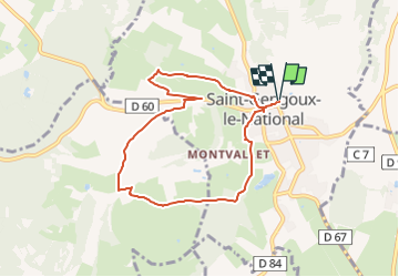

16.1 km | 21 km-effort


User


FREE GPS app for hiking
 SityTrail
IGN / Geographical institutes
SityTrail World
The world is yours!
Trail Walking of 7.5 km to be discovered at Bourgogne-Franche-Comté, Saône-et-Loire, Saint-Gengoux-le-National. This trail is proposed by Malice0093.
Boucle par des chemins principalement autour de Saint Gengoux
Le dénivelé le plus important est sur la première partie (entre le 1 et 2eme km) et ensuite ondule puis termine par du plat/descente
Rando effectuée pour test le 20/12/2022

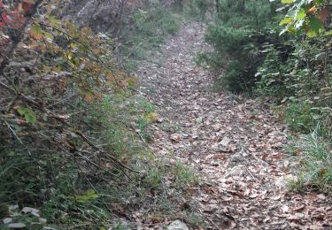
Walking

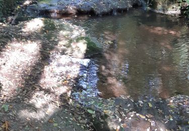
Walking
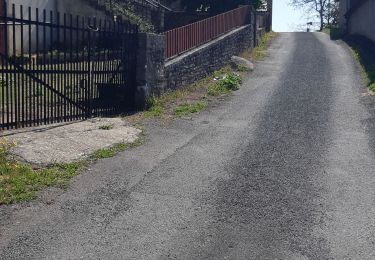
Walking

Walking
Walking
Walking
Walking
Walking
Walking