


50 km | 58 km-effort

User


FREE GPS app for hiking
 SityTrail
IGN / Geographical institutes
SityTrail World
The world is yours!
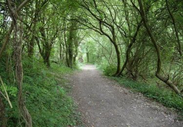
Trail Walking of 21 km to be discovered at Hauts-de-France, Somme, Corbie. This trail is proposed by Greg813.
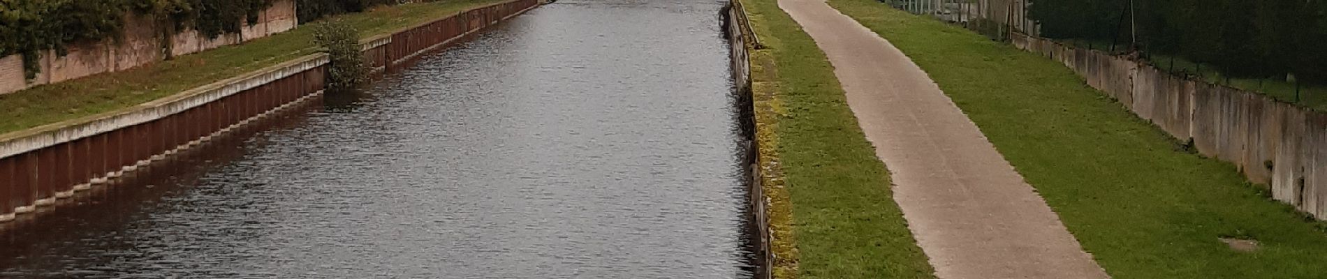
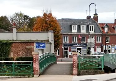
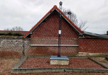
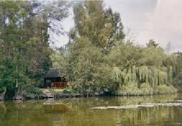
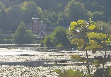
Randonnée avec Mettons le Monde en Marche le long de la Somme.
Départ de Corbie et progression le long de la Somme pour entrer dans Amiens par les Hortillonnages jusqu'à la cathédrale.
Pour d'autres photos, voir le site de l'association :
https://mmm-rando.org/de-corbie-au-marche-de-noel-damiens-2022/


Mountain bike
On foot
On foot
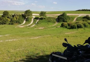
Quad
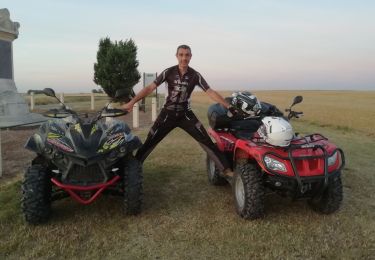
Quad
Quad
Quad
Walking
Mountain bike