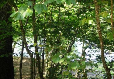
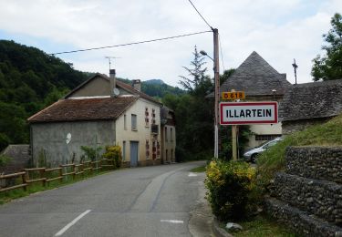
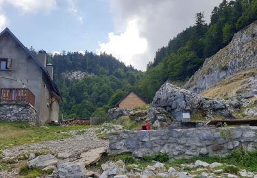
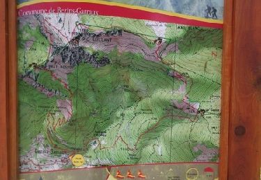
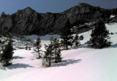
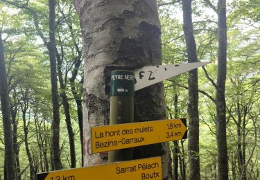
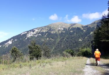
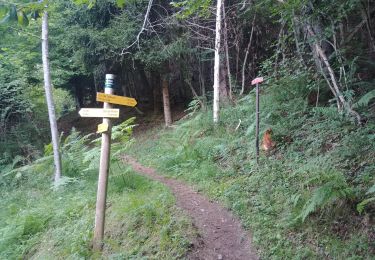
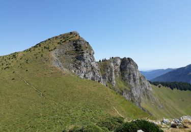
Trail Running Juzet-d'Izaut - TRAIL-Cagire - Photo
 Polo-31
Polo-31

User

© OpenStreetMap contributors
Length
Length
23 km
Max alt
Max alt
1909 m
Uphill gradient
Uphill gradient
1539 m
Km-Effort
Km-Effort  
43 km
Min alt
Min alt
955 m
Downhill gradient
Downhill gradient
1535 m
Boucle
Boucle
Yes
Creation date :
2015-07-06 00:00:00.0
Updated on :
2015-07-06 00:00:00.0

(1 Reviews)

Running
Running
5h00
Difficulty : Difficult

Scan this QR Code to open this trail in the SityTrail application

FREE GPS app for hiking

Logo SityTrail SityTrail

IGN / Geographical institutes

Download SityTrail from the App Store Download SityTrail from Google Play

Logo SityTrail SityTrail World

The world is yours!

Download SityTrail from the App Store Download SityTrail from Google Play Download SityTrail on Huawei AppGallery

About

Trail Running of 23 km to be discovered at Occitania, Haute-Garonne, Juzet-d'Izaut. This trail is proposed by Polo-31.

Description

Se garer au parking accessible par la petite route qui part du col du Buret. Monter au Cagire et suivre la crète via Pique-Poque, col du Pas de l'Âne, Sommet des Parets, Pic de l'Escalette. Descendre au col de Menté (Eau) et remonter au refuge de Larreix (Eau). Suivre le sentier balisé rouge et jaune (Vers Juzet-d'Izaut) qui fait le tour du Cagire. Cette monotrace est très sympathique et très peu fréquentée, on fini par rejoindre la piste forestière du Cagire plus ou moins proche du parking.

Elevation profile

Positioning

Country:
France
Region :
Occitania
Department/Province :
Haute-Garonne
Municipality :
Juzet-d'Izaut
Location:
Unknown
Start:(UTM)
316485 ; 4759369 (31T) N.

Comments

Please log in to post a review or rate the element


Trails nearby

Trail Mountain bike Milhas - Espace VTT FFC Pyrénées Comminges - n° 29 Le balcon du Cagire - Photo
Mountain bike
tracegps

Mountain bike

Difficult
(2)
Milhas, Occitania, Haute-Garonne, France
11.8 km | 18.7 km-effort
1h 45min
Yes
Trail On foot Juzet-d'Izaut - Voie du Piémont, Saint-Lizier - Saint-Bertrand-de-Comminges - Photo
On foot
GUIDE+

On foot

Very difficult
Juzet-d'Izaut, Occitania, Haute-Garonne, France
31 km | 49 km-effort
11h 7min
No
Trail Walking Sengouagnet - LARREIX à CAGIRE - Rando avec Léo 5ans - Photo
Walking
jopost

Walking

Difficult
Sengouagnet, Occitania, Haute-Garonne, France
5 km | 11.2 km-effort
3h 52min
Yes
Trail Running Bezins-Garraux - Pic du Gar - Bezins - Photo
Running
tracegps

Running

Difficult
Bezins-Garraux, Occitania, Haute-Garonne, France
11.1 km | 26 km-effort
2h 45min
Yes
Trail Walking Juzet-d'Izaut - Pic du Cagire en boucle depuis Juzet-d'Izaut - Photo
Walking
tracegps

Walking

Difficult
Juzet-d'Izaut, Occitania, Haute-Garonne, France
21 km | 41 km-effort
8h 0min
Yes
Trail Walking Bezins-Garraux - Rando Pic du Gar - Photo
Walking
Fab-Oz

Walking

Medium
Bezins-Garraux, Occitania, Haute-Garonne, France
14.3 km | 29 km-effort
4h 37min
Yes
Trail Walking Boutx - la couage col de combe - Photo
Walking
ellahove

Walking

Very easy
Boutx, Occitania, Haute-Garonne, France
7.8 km | 12.8 km-effort
1h 34min
No
Trail Walking Bezins-Garraux - pic du gar - Photo
Walking
BernardEsteban

Walking

Medium
(1)
Bezins-Garraux, Occitania, Haute-Garonne, France
15.4 km | 30 km-effort
8h 17min
Yes
Trail Walking Moncaup - col des are au pic du gar - Photo
Walking
ellahove

Walking

Very easy
Moncaup, Occitania, Haute-Garonne, France
6.9 km | 10 km-effort
5h 38min
No


Close
My subscriptions