


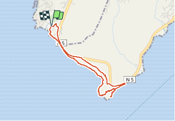


3.9 km | 4.4 km-effort


User GUIDE


FREE GPS app for hiking
 SityTrail
IGN / Geographical institutes
SityTrail World
The world is yours!
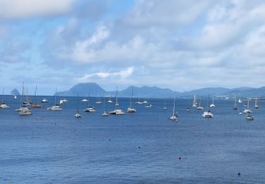
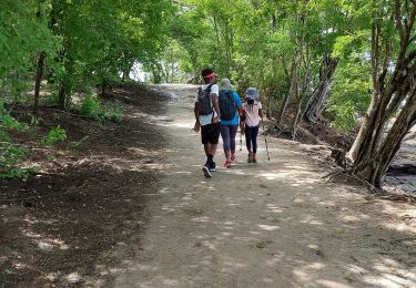
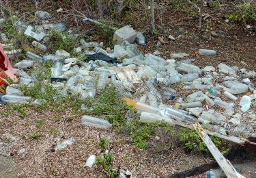
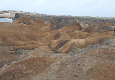
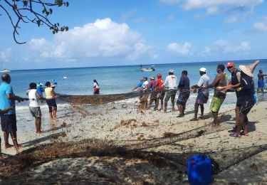
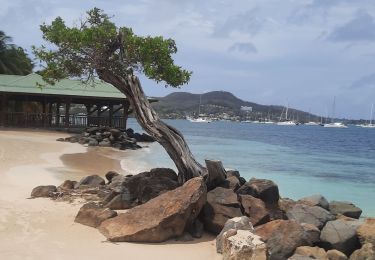
Trail Walking of 5.7 km to be discovered at Martinique, Unknown, Rivière-Pilote. This trail is proposed by GabyG.
grande aventure plein Sud et escapade dans les massifs du morne aca. en boucle de Anse figuier, pointe Borgnèse, petite poterie cotes rocheuses et plages.


Walking
Walking
Walking
Walking
Walking
Walking
Walking
Walking
Walking