


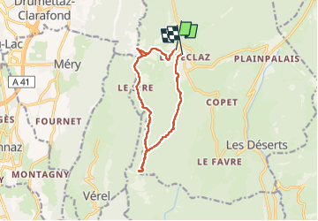

16.6 km | 24 km-effort

User


FREE GPS app for hiking
 SityTrail
IGN / Geographical institutes
SityTrail World
The world is yours!
Trail Snowshoes of 11.5 km to be discovered at Auvergne-Rhône-Alpes, Savoy, Les Déserts. This trail is proposed by mzonzon05.
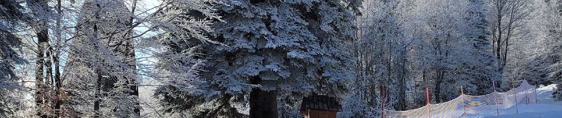
Très jolie boucle faciile et agréable. Début de l'hiver avec les premières neiges. Du monde mais pas trop pour ce classique des chambériens.


Walking

Walking

Walking

Walking
Walking
Walking
Walking

Walking

Walking