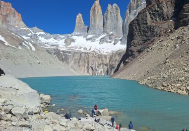
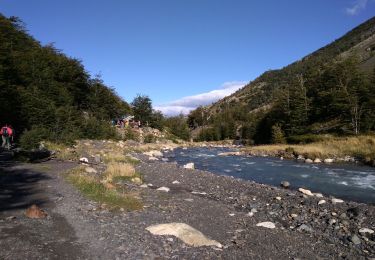
10.5 km | 19.6 km-effort
Retour Grey Lake à Puerto Natales
GOHIER
User
Length
176 km
Max alt
353 m
Uphill gradient
1921 m
Km-Effort
202 km
Min alt
2 m
Downhill gradient
1953 m
Boucle
No
Creation date :
2022-12-10 16:33:26.0
Updated on :
2022-12-10 21:03:57.878
4h29
Difficulty : Unknown
FREE GPS app for hiking
About
Trail Car of 176 km to be discovered at Region of Magallanes and Chilean Antarctica, Provincia de Última Esperanza, Torres del Paine. This trail is proposed by GOHIER.
Description
En bus.
Positioning
Country:
Chile
Region :
Region of Magallanes and Chilean Antarctica
Department/Province :
Provincia de Última Esperanza
Municipality :
Torres del Paine
Location:
Unknown
Start:(Dec)
Start:(UTM)
631890 ; 4334741 (18F) S.
Comments
Trails nearby
mirador torre del Paine
Walking
Very easy
Torres del Paine,
Region of Magallanes and Chilean Antarctica,
Provincia de Última Esperanza,
Chile
3h 9min
No
Torres del Paine
Walking
Easy
Torres del Paine,
Region of Magallanes and Chilean Antarctica,
Provincia de Última Esperanza,
Chile
22 km | 35 km-effort
9h 14min
Yes
Lago Grey
Motorboat
Very easy
Torres del Paine,
Region of Magallanes and Chilean Antarctica,
Provincia de Última Esperanza,
Chile
34 km | 38 km-effort
3h 39min
No
Glacier GREY
Walking
Medium
Torres del Paine,
Region of Magallanes and Chilean Antarctica,
Provincia de Última Esperanza,
Chile
12.9 km | 19.7 km-effort
9h 19min
Yes
Refuge Grey depuis Paine Grande
Walking
Difficult
Torres del Paine,
Region of Magallanes and Chilean Antarctica,
Provincia de Última Esperanza,
Chile
12.8 km | 23 km-effort
5h 51min
No
Mirador Britannico depuis Paine Grande
Walking
Very difficult
Torres del Paine,
Region of Magallanes and Chilean Antarctica,
Provincia de Última Esperanza,
Chile
29 km | 41 km-effort
13h 31min
Yes
torres
Walking
Very easy
Torres del Paine,
Region of Magallanes and Chilean Antarctica,
Provincia de Última Esperanza,
Chile
34 km | 52 km-effort
9h 26min
No