


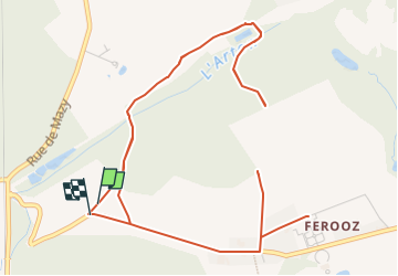

12.9 km | 15.4 km-effort


User


FREE GPS app for hiking
 SityTrail
IGN / Geographical institutes
SityTrail World
The world is yours!
Trail Walking of 21 km to be discovered at Wallonia, Namur, Gembloux. This trail is proposed by psyberty.
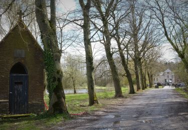
un morceau de trace est impossible à tracer mais pour le morceau manquant, prendre à droite labelle allée de tilleuls puis au croisement des 4 chemins, prendre à gauche et retrouver la trace.
Walking
Walking
Walking
Walking

Walking
Walking
Walking

Walking

Walking