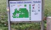
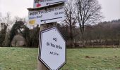
Trail Walking Lierneux - Promenade de Trou de Bra   - Photo

Promenade de Trou de Bra

« L’heure de la fin des découvertes ne sonne jamais. » Colette GUIDE+

© OpenStreetMap contributors
Length
Length
4 km
Max alt
Max alt
472 m
Uphill gradient
Uphill gradient
191 m
Km-Effort
Km-Effort  
6.5 km
Min alt
Min alt
279 m
Downhill gradient
Downhill gradient
189 m
Boucle
Boucle
Yes
Creation date :
2022-12-10 11:44:26.514
Updated on :
2022-12-12 20:10:12.607

(0 Reviews)

Walking
Walking
1h28
Difficulty : Medium

Scan this QR Code to open this trail in the SityTrail application

FREE GPS app for hiking

Logo SityTrail SityTrail

IGN / Geographical institutes

Download SityTrail from the App Store Download SityTrail from Google Play

Logo SityTrail SityTrail World

The world is yours!

Download SityTrail from the App Store Download SityTrail from Google Play Download SityTrail on Huawei AppGallery

About

Trail Walking of 4 km to be discovered at Wallonia, Liège, Lierneux. This trail is proposed by Au fil de nos découvertes.

Description

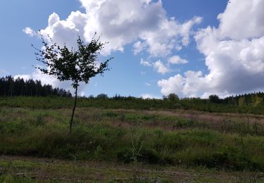
Magnifiques vues sur la vallée de la Lienne (lorsque c'est dégagé !)

🅿️ Départ et Parking:
Trou de Bra
4990 Lierneux
Coordonnées GPS: 50.347143,5.728557

▶️ Suivre la balise "losange rouge"
🥾 Prévoir de bonnes chaussures de marche.

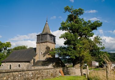
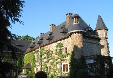
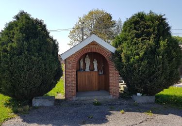
Au départ de l'église, cette promenade vous emmène vers de très beaux points de vues sur la Vallée de la Lienne ainsi que sur les Thiers (lorsque c'est dégagé).
Profitez du calme de la forêt et de la beauté des lieux ! 🥰

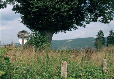
À la fin de la promenade, vous verrez un magnifique chêne (arbre classé) de plus de 600 ans, surnommé le chêne Prevot. 🌳

Possibilités de pique-niquer. 🥪🍴
Chiens autorisés. 🐩🐶🐕
Convient pour les enfants . 👱👱‍♂️  
Ne convient pas pour les poussettes et personnes à mobilité réduite. 👨‍🦽👩‍🦽👶

N'hésitez pas à aller faire un tour sur notre site internet : www.aufildenosdecouvertes.com

Instagram :
https://www.instagram.com/au_fil_de_nos_decouvertes

Elevation profile

Photos

35 photos in total. Please click on a photo to see them all in the gallery.

Positioning

Country:
Belgium
Region :
Wallonia
Department/Province :
Liège
Municipality :
Lierneux
Location:
Unknown
Start:(UTM)
694175 ; 5580698 (31U) N.

Trails nearby

Trail Walking Stoumont - RB-Lg-14 - Raccourci  - Photo
Walking
PRO

Walking

Very difficult
(5)
Stoumont, Wallonia, Liège, Belgium
17 km | 24 km-effort
5h 28min
Yes
Trail Walking Manhay - 2021-06-30_10h25m20_Cirkwi-PLANTISSE_(Commune_de_MANHAY) - Photo
Walking
GUIDE
mumu.larandonneuse

Walking

Easy
(3)
Manhay, Wallonia, Luxembourg, Belgium
12.8 km | 16.7 km-effort
3h 47min
Yes
Trail Walking Stoumont - RB-Lg-14 - De point de vue en point de vue autour de Lorcé - Photo
Walking
PRO

Walking

Very difficult
(4)
Stoumont, Wallonia, Liège, Belgium
22 km | 30 km-effort
6h 53min
Yes
Trail Walking Stoumont - SityTrail - 488597 - rahier-vers-le-rouge-thier - Photo
Walking
c.watrin

Walking

Very easy
(1)
Stoumont, Wallonia, Liège, Belgium
7.6 km | 9.9 km-effort
Unknown
Yes
Trail Walking Stoumont - SityTrail - 333969 - chevron - Photo
Walking
c.watrin

Walking

Very easy
(1)
Stoumont, Wallonia, Liège, Belgium
8.2 km | 10.6 km-effort
Unknown
Yes
Trail On foot Stoumont - 15. Promenade de la Pierre de schiste - Photo
On foot
GUIDE+

On foot

Easy
Stoumont, Wallonia, Liège, Belgium
4.7 km | 6.1 km-effort
1h 23min
Yes
Trail On foot Lierneux - Lierneux 11 - Photo
On foot
GUIDE+

On foot

Easy
Lierneux, Wallonia, Liège, Belgium
8.2 km | 10.6 km-effort
2h 24min
Yes
Trail On foot Ferrières - 12. Promenade de Werbomont - Photo
On foot
GUIDE+

On foot

Easy
(1)
Ferrières, Wallonia, Liège, Belgium
4.1 km | 5.1 km-effort
1h 9min
Yes
Trail On foot Lierneux - Lierneux 10 - Photo
On foot
GUIDE+

On foot

Easy
Lierneux, Wallonia, Liège, Belgium
3.7 km | 4.7 km-effort
1h 3min
Yes


Close
My subscriptions