11.1 km | 14.5 km-effort
Ville sur Arce 2
genndor
User
Length
17.9 km
Max alt
322 m
Uphill gradient
377 m
Km-Effort
23 km
Min alt
179 m
Downhill gradient
377 m
Boucle
Yes
Creation date :
2022-12-09 09:14:49.56
Updated on :
2022-12-09 09:15:42.203
5h13
Difficulty : Medium
FREE GPS app for hiking
About
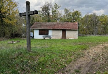
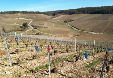
Trail On foot of 17.9 km to be discovered at Grand Est, Aube, Ville-sur-Arce. This trail is proposed by genndor.
Positioning
Country:
France
Region :
Grand Est
Department/Province :
Aube
Municipality :
Ville-sur-Arce
Location:
Unknown
Start:(Dec)
Start:(UTM)
607395 ; 5329314 (31U) N.
Comments
Trails nearby
randonnée chemin du vigneron à Celles sur Ource
Walking
Very easy
(1)
Celles-sur-Ource,
Grand Est,
Aube,
France
2h 15min
Yes
la halte saint bernard GR •coteau
Mountain bike
Very easy
(1)
Bar-sur-Seine,
Grand Est,
Aube,
France
17.3 km | 21 km-effort
1h 26min
Yes
Les hauts de Celles sur Ource et Neuville sur Seine
Walking
Easy
Celles-sur-Ource,
Grand Est,
Aube,
France
10.8 km | 13.8 km-effort
2h 53min
Yes
Ville sur Arce
Walking
Very easy
Bar-sur-Seine,
Grand Est,
Aube,
France
9.8 km | 13 km-effort
3h 3min
No
Celles sur Ource
Walking
Difficult
Celles-sur-Ource,
Grand Est,
Aube,
France
12.4 km | 16.2 km-effort
2h 54min
Yes
ville sur arce Bar sur seine
Walking
Easy
Ville-sur-Arce,
Grand Est,
Aube,
France
4.5 km | 5.2 km-effort
1h 15min
No
Ville sur Arce
On foot
Medium
Ville-sur-Arce,
Grand Est,
Aube,
France
19.2 km | 25 km-effort
5h 36min
Yes
Celles-Sur-Ource
Car
Very easy
Celles-sur-Ource,
Grand Est,
Aube,
France
2.2 km | 2.6 km-effort
10min
No