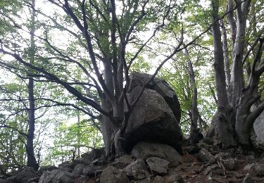
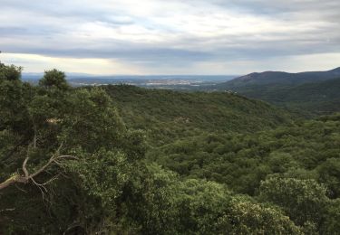
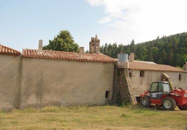
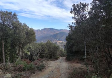
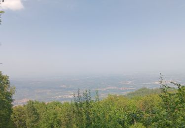
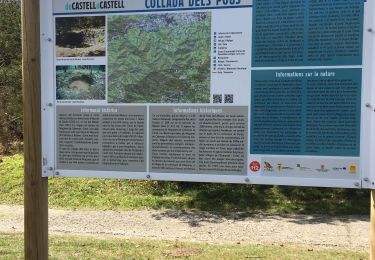
Trail Walking Maureillas-las-Illas - GR 10 35 - Photo
 chasle
chasle

User

© OpenStreetMap contributors
Length
Length
22 km
Max alt
Max alt
721 m
Uphill gradient
Uphill gradient
782 m
Km-Effort
Km-Effort  
32 km
Min alt
Min alt
275 m
Downhill gradient
Downhill gradient
671 m
Boucle
Boucle
No
Creation date :
2022-12-07 13:36:13.18
Updated on :
2022-12-07 13:37:51.397

(0 Reviews)

Walking
Walking
7h17
Difficulty : Difficult

Scan this QR Code to open this trail in the SityTrail application

FREE GPS app for hiking

Logo SityTrail SityTrail

IGN / Geographical institutes

Download SityTrail from the App Store Download SityTrail from Google Play

Logo SityTrail SityTrail World

The world is yours!

Download SityTrail from the App Store Download SityTrail from Google Play Download SityTrail on Huawei AppGallery

About

Trail Walking of 22 km to be discovered at Occitania, Pyrénées-Orientales, Maureillas-las-Illas. This trail is proposed by chasle.

Elevation profile

Positioning

Country:
France
Region :
Occitania
Department/Province :
Pyrénées-Orientales
Municipality :
Maureillas-las-Illas
Location:
Unknown
Start:(UTM)
482267 ; 4697108 (31T) N.

Trails nearby

Trail Walking Céret - Cretes de Ceret_Fontfrede - Photo
Walking
force

Walking

Medium
(2)
Céret, Occitania, Pyrénées-Orientales, France
8.3 km | 14.1 km-effort
3h 14min
Yes
Trail Walking Maureillas-las-Illas - CERET 66 - les hauts de CERET - ballade en bas Vallespir - dolmen de la Siureda torre Bel Ull  - Photo
Walking
jeff66

Walking

Medium
(1)
Maureillas-las-Illas, Occitania, Pyrénées-Orientales, France
6.5 km | 9.9 km-effort
1h 24min
Yes
Trail On foot la Vajol - La Vajol al Santuari i al Puig de les Salines - Photo
On foot
GUIDE+

On foot

Easy
la Vajol, Catalonia, Girona, Spain
6.6 km | 14.2 km-effort
3h 13min
No
Trail Walking Maureillas-las-Illas - Las Illas / La Vajol / col de Manrella  - Photo
Walking
robertperello

Walking

Difficult
Maureillas-las-Illas, Occitania, Pyrénées-Orientales, France
13.1 km | 18.9 km-effort
3h 45min
Yes
Trail Walking Maureillas-las-Illas - RIUNOGUES PORTELL PANISSAR - Photo
Walking
MarcOBRECHT

Walking

Medium
(1)
Maureillas-las-Illas, Occitania, Pyrénées-Orientales, France
18 km | 26 km-effort
4h 35min
Yes
Trail Walking Céret - pic des salines . pou del neu . retour via GR10 . solo - Photo
Walking
GUIDE
stef789

Walking

Difficult
Céret, Occitania, Pyrénées-Orientales, France
8.4 km | 14.4 km-effort
3h 34min
Yes
Trail Walking Maureillas-las-Illas - Maureillas  - Photo
Walking
francineposkin

Walking

Difficult
Maureillas-las-Illas, Occitania, Pyrénées-Orientales, France
12.8 km | 16.9 km-effort
4h 34min
No
Trail Walking Maureillas-las-Illas - 2022 TRANSPYRÉNÉENNE : Refuge de La ILLIAS - Col du Perthus - com de l’Ouillat ( refuge de L’Albère) - Photo
Walking
LEGUE

Walking

Medium
Maureillas-las-Illas, Occitania, Pyrénées-Orientales, France
24 km | 36 km-effort
5h 18min
No
Trail Walking Céret - Fontfrede -pic des salines par el coll de pois de neu - Photo
Walking
robertperello

Walking

Difficult
Céret, Occitania, Pyrénées-Orientales, France
9.8 km | 16 km-effort
3h 34min
Yes


Close
My subscriptions