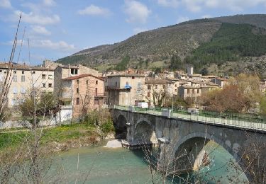
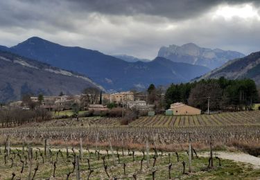
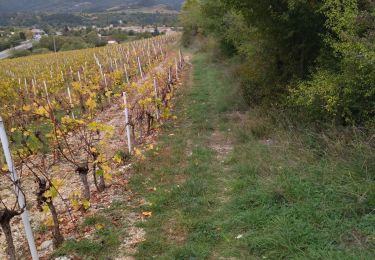
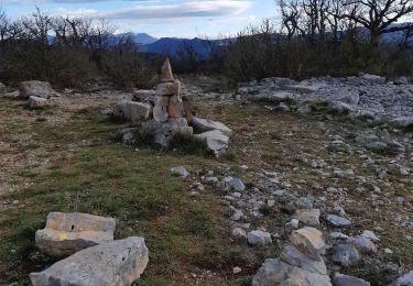
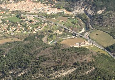
Trail Walking Véronne - Chicotier - Photo
© OpenStreetMap contributors
Length
Length
19.3 km
Max alt
Max alt
701 m
Uphill gradient
Uphill gradient
725 m
Km-Effort
Km-Effort  
29 km
Min alt
Min alt
344 m
Downhill gradient
Downhill gradient
723 m
Boucle
Boucle
Yes
Creation date :
2022-12-02 07:50:46.0
Updated on :
2022-12-02 15:09:00.767

(0 Reviews)

Walking
Walking
4h17
Difficulty : Medium

Scan this QR Code to open this trail in the SityTrail application

FREE GPS app for hiking

Logo SityTrail SityTrail

IGN / Geographical institutes

Download SityTrail from the App Store Download SityTrail from Google Play

Logo SityTrail SityTrail World

The world is yours!

Download SityTrail from the App Store Download SityTrail from Google Play Download SityTrail on Huawei AppGallery

About

Trail Walking of 19.3 km to be discovered at Auvergne-Rhône-Alpes, Drôme, Véronne. This trail is proposed by Monique Aubry.

Elevation profile

Positioning

Country:
France
Region :
Auvergne-Rhône-Alpes
Department/Province :
Drôme
Municipality :
Véronne
Location:
Unknown
Start:(UTM)
674908 ; 4955945 (31T) N.

Trails nearby

Trail Walking Vercheny - Vercheny Chateau du Barry 14 km - Photo
Walking
chancha

Walking

Medium
(1)
Vercheny, Auvergne-Rhône-Alpes, Drôme, France
14.2 km | 23 km-effort
5h 11min
Yes
Trail Mountain bike Saillans - Grande Traversée des PréAlpes à VTT : variante Saillans - Montmorin - Photo
Mountain bike
tracegps

Mountain bike

Very difficult
(1)
Saillans, Auvergne-Rhône-Alpes, Drôme, France
74 km | 113 km-effort
11h 0min
No
Trail Walking Pontaix - 26 pontaix gaudichard HS danger - Photo
Walking
GUIDE
randodyssée

Walking

Medium
Pontaix, Auvergne-Rhône-Alpes, Drôme, France
16.2 km | 28 km-effort
7h 18min
Yes
Trail Walking Saillans - 26 gaudichard zel - Photo
Walking
GUIDE
randodyssée

Walking

Medium
Saillans, Auvergne-Rhône-Alpes, Drôme, France
18.2 km | 32 km-effort
7h 42min
Yes
Trail Walking Saillans - 26 saillans gaudichard - Photo
Walking
GUIDE
randodyssée

Walking

Medium
Saillans, Auvergne-Rhône-Alpes, Drôme, France
16.2 km | 28 km-effort
6h 25min
No
Trail Walking Aurel - Vercors - Vercheny Combe Noire - Photo
Walking
Alfredy

Walking

Very easy
(1)
Aurel, Auvergne-Rhône-Alpes, Drôme, France
8.7 km | 12.7 km-effort
2h 55min
Yes
Trail Road bike Pontaix - 26 eygluy st julien en Q Marignac velo - Photo
Road bike
GUIDE
randodyssée

Road bike

Medium
Pontaix, Auvergne-Rhône-Alpes, Drôme, France
77 km | 99 km-effort
6h 20min
Yes
Trail Walking Saillans - Cresta - Photo
Walking
ajd26

Walking

Very difficult
Saillans, Auvergne-Rhône-Alpes, Drôme, France
14 km | 27 km-effort
6h 12min
Yes
Trail Walking Saillans - Saillans Chapelle St Christophe 14km. - Photo
Walking
chancha

Walking

Medium
(1)
Saillans, Auvergne-Rhône-Alpes, Drôme, France
14.1 km | 20 km-effort
4h 42min
Yes


Close
My subscriptions