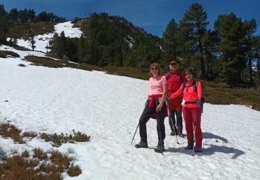
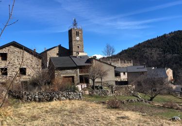
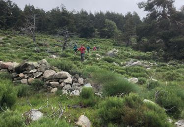
15.7 km | 28 km-effort
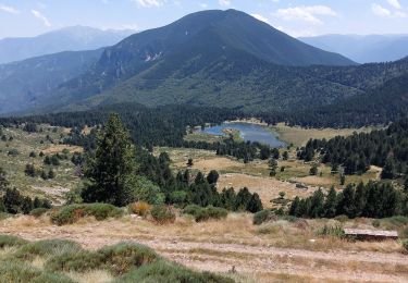
Lacs de Nohèdes
Pek56
User
Length
10.5 km
Max alt
2296 m
Uphill gradient
569 m
Km-Effort
18.1 km
Min alt
1736 m
Downhill gradient
568 m
Boucle
Yes
Creation date :
2015-04-30 00:00:00.0
Updated on :
2015-04-30 00:00:00.0
3h45
Difficulty : Easy
FREE GPS app for hiking
About
Trail Walking of 10.5 km to be discovered at Occitania, Pyrénées-Orientales, Olette. This trail is proposed by Pek56.
Description
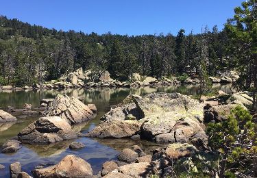
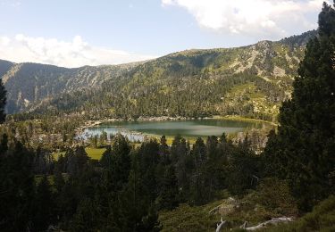
Très belle randonnée autour des lacs d'Evol et de Nohèdes.
Positioning
Country:
France
Region :
Occitania
Department/Province :
Pyrénées-Orientales
Municipality :
Olette
Location:
Unknown
Start:(Dec)
Start:(UTM)
437682 ; 4719306 (31T) N.
Comments
Trails nearby
NOHEDE
Walking
Very difficult
Nohèdes,
Occitania,
Pyrénées-Orientales,
France
16.8 km | 30 km-effort
5h 14min
Yes
20230312 Boucle depuis Railleu
Walking
Medium
Railleu,
Occitania,
Pyrénées-Orientales,
France
15.8 km | 25 km-effort
4h 27min
Yes
20200618 au départ de Nohèdes
Walking
Medium
Nohèdes,
Occitania,
Pyrénées-Orientales,
France
13.7 km | 24 km-effort
5h 22min
Yes
Nohèdes- Gorg Estelat
On foot
Medium
Nohèdes,
Occitania,
Pyrénées-Orientales,
France
22 km | 39 km-effort
Unknown
Yes
les lacs de Nohede
Walking
Medium
Nohèdes,
Occitania,
Pyrénées-Orientales,
France
29 km | 55 km-effort
6h 44min
No
20230325 autre parcours sympa depuis Railleu
Walking
Medium
Railleu,
Occitania,
Pyrénées-Orientales,
France
17.8 km | 30 km-effort
5h 4min
Yes
railleu sansa
Walking
Very difficult
Railleu,
Occitania,
Pyrénées-Orientales,
France
17.2 km | 29 km-effort
5h 2min
Yes
lacs negre estellat et clot nohèdes
Walking
Medium
Nohèdes,
Occitania,
Pyrénées-Orientales,
France
58 km | 102 km-effort
3h 30min
No
lamanere coma negra
Excellente application, je l'utilise régulièrement en montagne et pas de mauvaise surprise pour le moment...