


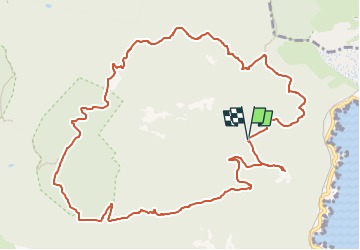

10.4 km | 17.5 km-effort


User


FREE GPS app for hiking
 SityTrail
IGN / Geographical institutes
SityTrail World
The world is yours!
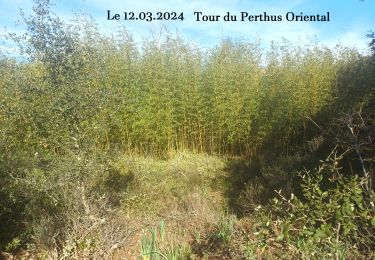
Trail Walking of 13.9 km to be discovered at Provence-Alpes-Côte d'Azur, Var, Saint-Raphaël. This trail is proposed by clarambre.
Départ du parking du Col des Lentisques pour une boucle en passant par le Col Notre Dame, Le Ravin du Mal Infernet et retour par le GR 52 Ravin des Lentisques
On peut pour le plaisir effectuer un aller retour au Pic d'Aurelle

Walking

Walking

Walking

Walking

Walking

Walking

Walking

Walking
Walking