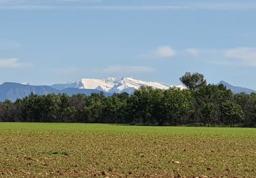
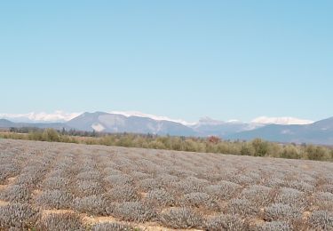
19.3 km | 25 km-effort
riez puimoison
cocojean
User
Length
12.3 km
Max alt
689 m
Uphill gradient
149 m
Km-Effort
14.7 km
Min alt
524 m
Downhill gradient
270 m
Boucle
No
Creation date :
2022-11-24 09:44:30.732
Updated on :
2022-11-24 14:46:28.752
3h03
Difficulty : Difficult
FREE GPS app for hiking
About
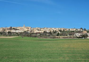
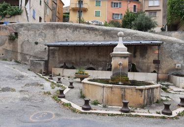
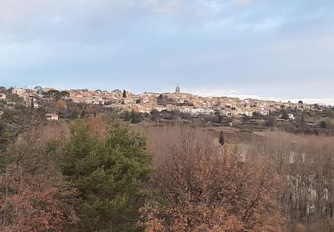
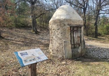
Trail Walking of 12.3 km to be discovered at Provence-Alpes-Côte d'Azur, Alpes-de-Haute-Provence, Riez. This trail is proposed by cocojean.
Description
15kms 500
Positioning
Country:
France
Region :
Provence-Alpes-Côte d'Azur
Department/Province :
Alpes-de-Haute-Provence
Municipality :
Riez
Location:
Unknown
Start:(Dec)
Start:(UTM)
266466 ; 4858997 (32T) N.
Comments
Trails nearby
2024-03-12 Puimoisson Aventure
Walking
Difficult
Puimoisson,
Provence-Alpes-Côte d'Azur,
Alpes-de-Haute-Provence,
France
5h 35min
Yes
Rlez et ses environ
Mountain bike
Medium
Riez,
Provence-Alpes-Côte d'Azur,
Alpes-de-Haute-Provence,
France
21 km | 26 km-effort
3h 2min
Yes
taf en Maverick
4x4
Easy
(1)
Puimoisson,
Provence-Alpes-Côte d'Azur,
Alpes-de-Haute-Provence,
France
51 km | 63 km-effort
1h 32min
No
puimasson. la chapelle notre Dame, la plaine de réme
Walking
Medium
Puimoisson,
Provence-Alpes-Côte d'Azur,
Alpes-de-Haute-Provence,
France
13.6 km | 18.3 km-effort
4h 19min
Yes
2024-03-22 Riez - Valvachères
Walking
Easy
Riez,
Provence-Alpes-Côte d'Azur,
Alpes-de-Haute-Provence,
France
13.5 km | 16.3 km-effort
3h 42min
Yes
GR4 Jour 2 Riez - Saint Martin de Brôme 18-05-2021
Walking
Medium
Riez,
Provence-Alpes-Côte d'Azur,
Alpes-de-Haute-Provence,
France
16.3 km | 19.9 km-effort
3h 51min
No
PUIMOISSON RIEZ o n
Walking
Medium
Puimoisson,
Provence-Alpes-Côte d'Azur,
Alpes-de-Haute-Provence,
France
15.7 km | 19.8 km-effort
3h 34min
Yes
04_Riez_La Blache_J6_rea_corrigé
Walking
Medium
Riez,
Provence-Alpes-Côte d'Azur,
Alpes-de-Haute-Provence,
France
18.5 km | 24 km-effort
5h 5min
No
valensole. Le tour du.bois d arlane
Walking
Very easy
Valensole,
Provence-Alpes-Côte d'Azur,
Alpes-de-Haute-Provence,
France
7.7 km | 9.1 km-effort
2h 26min
Yes