


9.5 km | 12 km-effort


Plus vî, plus sot


FREE GPS app for hiking
 SityTrail
IGN / Geographical institutes
SityTrail World
The world is yours!
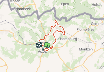
Trail Mountain bike of 22 km to be discovered at Wallonia, Liège, Aubel. This trail is proposed by Yeyette VTT team.
Une inédite qui arrive à éviter la ligne 38. Belle, tondue et pleine de courbes et vallons : comme nous les aimons !

Walking

Walking

Walking

Walking

Walking

Walking

Walking
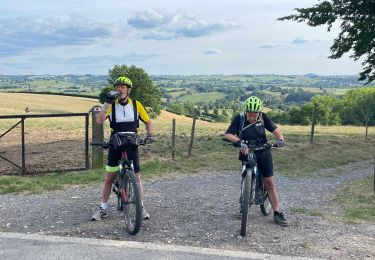
Mountain bike
Other activity