


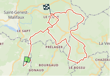

12.2 km | 16 km-effort


User


FREE GPS app for hiking
 SityTrail
IGN / Geographical institutes
SityTrail World
The world is yours!
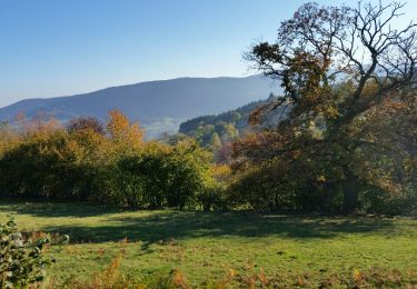
Trail Horseback riding of 26 km to be discovered at Auvergne-Rhône-Alpes, Loire, Marlhes. This trail is proposed by chevaltaiga.
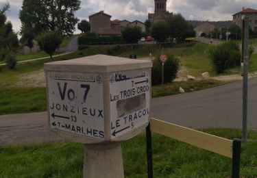
Itinéraire au départ de Montaron pour repas au trois croix le midi et du soir à la diligence rajouter 7,5 km pour rentrer à Montaron

Walking
Walking
Walking
Road bike
Walking
Walking
Walking
Walking
Walking