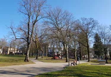
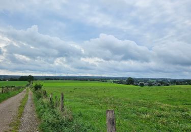
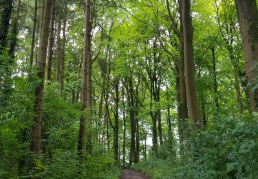
Trail Walking Aachen - Aix-la-Chapelle (Rando & marché de Noël 🎅🎄) - Photo

Aix-la-Chapelle (Rando & marché de Noël 🎅🎄)

© OpenStreetMap contributors
Length
Length
10.7 km
Max alt
Max alt
326 m
Uphill gradient
Uphill gradient
191 m
Km-Effort
Km-Effort  
13.2 km
Min alt
Min alt
165 m
Downhill gradient
Downhill gradient
198 m
Boucle
Boucle
Yes
Creation date :
2022-11-18 20:06:33.112
Updated on :
2022-11-27 18:26:26.223

(1 Reviews)

Walking
Walking
3h00
Difficulty : Easy

Scan this QR Code to open this trail in the SityTrail application

FREE GPS app for hiking

Logo SityTrail SityTrail

IGN / Geographical institutes

Download SityTrail from the App Store Download SityTrail from Google Play

Logo SityTrail SityTrail World

The world is yours!

Download SityTrail from the App Store Download SityTrail from Google Play Download SityTrail on Huawei AppGallery

About

Trail Walking of 10.7 km to be discovered at North Rhine-Westphalia, Städteregion Aachen, Aachen. This trail is proposed by mumu.larandonneuse.

Description

📍 & 🅿️ Lütticher Strabe 340

➡️ Points-noeuds 16 17 67 68 46 77 25 26 10 9 ... vers le centre et retour ... 4 5 6 14 16.

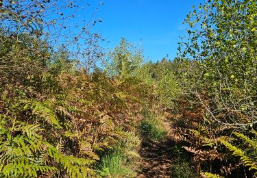
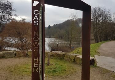
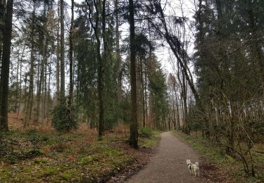
🇩🇪 Une randonnée alliant un parcours dans la forêt d'Aix-la-Chapelle avec la visite du centre et de son marché de Noël.

➕ Pendant environ quatre semaines précédant le Noël, les places et les ruelles aux environs de la cathédrale et de l'hôtel de ville d'Aix-la-Chapelle se transforment en un véritable village festif. Les lumières scintillantes et les senteurs inoubliables de vin chaud et de Printen (spécialité aixoise de pain d'épices) sont autant de gages d'une ambiance extraordinaire.
https://www.aachen-tourismus.de/fr/decouvrir/evenements/le-marche-de-noel-daix-la-chapelle
.
www.aachen.de/wandern.

Elevation profile

Photos

Positioning

Country:
Germany
Region :
North Rhine-Westphalia
Department/Province :
Städteregion Aachen
Municipality :
Aachen
Location:
Aachen-Mitte
Start:(UTM)
292703 ; 5625688 (32U) N.

Comments

Please log in to post a review or rate the element


Trails nearby

Trail Walking Kelmis - Le pays calaminaire - Photo
Walking
GUIDE
mumu.larandonneuse

Walking

Medium
(1)
Kelmis, Wallonia, Liège, Belgium
9.6 km | 12.1 km-effort
2h 44min
Yes
Trail Walking Raeren - 2023-09-21_15h54m11_392.gpx.xml - Photo
Walking
GUIDE
mumu.larandonneuse

Walking

Medium
(1)
Raeren, Wallonia, Liège, Belgium
13.2 km | 17.3 km-effort
3h 55min
Yes
Trail Walking Kelmis - La Calamine - Photo
Walking
GUIDE
mumu.larandonneuse

Walking

Easy
(1)
Kelmis, Wallonia, Liège, Belgium
9.1 km | 11.6 km-effort
2h 38min
Yes
Trail Walking Aachen - Aix-la-Chapelle  - Photo
Walking
GUIDE
mumu.larandonneuse

Walking

Easy
(1)
Aachen, North Rhine-Westphalia, Städteregion Aachen, Germany
11.4 km | 15.4 km-effort
3h 30min
Yes
Trail Walking Aachen - Aix-la-Chapelle  - Photo
Walking
GUIDE
mumu.larandonneuse

Walking

Easy
(1)
Aachen, North Rhine-Westphalia, Städteregion Aachen, Germany
11.1 km | 13.4 km-effort
3h 2min
Yes
Trail Walking Kelmis - 2022-01-18_14h17m25_kelmis - Photo
Walking
GUIDE
mumu.larandonneuse

Walking

Easy
(1)
Kelmis, Wallonia, Liège, Belgium
14.2 km | 18.4 km-effort
4h 10min
Yes
Trail Walking Raeren - 2022-01-18_14h11m36_lichtenbusch - Photo
Walking
GUIDE
mumu.larandonneuse

Walking

Easy
(2)
Raeren, Wallonia, Liège, Belgium
14.8 km | 17 km-effort
3h 52min
Yes
Trail Walking Vaals - 2021-07-14_08h55m00_1431 - Photo
Walking
GUIDE
mumu.larandonneuse

Walking

Medium
(1)
Vaals, Limburg, Unknown, Netherlands
13.1 km | 16.6 km-effort
3h 46min
Yes
Trail Walking Raeren - 2021-04-02_18h39m41_975 - Photo
Walking
GUIDE
mumu.larandonneuse

Walking

Easy
(1)
Raeren, Wallonia, Liège, Belgium
14.6 km | 17.8 km-effort
4h 2min
Yes


Close
My subscriptions