27 km | 37 km-effort
Czzarenoux côté Ouest
geli.henri
User
Length
7.4 km
Max alt
396 m
Uphill gradient
187 m
Km-Effort
10.1 km
Min alt
314 m
Downhill gradient
245 m
Boucle
No
Creation date :
2022-11-18 13:51:51.174
Updated on :
2022-11-18 16:40:09.23
1h46
Difficulty : Medium
FREE GPS app for hiking
About
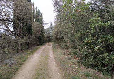
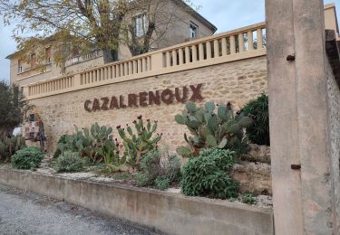
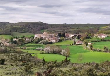
Trail Walking of 7.4 km to be discovered at Occitania, Aude, Cazalrenoux. This trail is proposed by geli.henri.
Positioning
Country:
France
Region :
Occitania
Department/Province :
Aude
Municipality :
Cazalrenoux
Location:
Unknown
Start:(Dec)
Start:(UTM)
414168 ; 4783877 (31T) N.
Comments
Trails nearby
Boucle Saint Christol
Walking
Easy
Fonters-du-Razès,
Occitania,
Aude,
France
12.6 km | 16.3 km-effort
2h 48min
Yes
Cazalrenoux
Walking
Medium
(1)
Cazalrenoux,
Occitania,
Aude,
France
9.8 km | 13.6 km-effort
2h 57min
Yes
boucle bb
Mountain bike
Easy
(1)
Laurabuc,
Occitania,
Aude,
France
15.2 km | 19.2 km-effort
1h 15min
Yes
Boucle du Besplas
On foot
Easy
Villasavary,
Occitania,
Aude,
France
9.8 km | 12.7 km-effort
2h 52min
Yes
generville
Walking
Difficult
Generville,
Occitania,
Aude,
France
9.6 km | 13.2 km-effort
2h 56min
Yes