27 km | 37 km-effort
Cazalrenoux
Mamilaure
User
Length
9.8 km
Max alt
404 m
Uphill gradient
284 m
Km-Effort
13.6 km
Min alt
317 m
Downhill gradient
285 m
Boucle
Yes
Creation date :
2022-11-17 12:26:03.805
Updated on :
2023-03-04 15:47:38.78
2h57
Difficulty : Medium
FREE GPS app for hiking
About
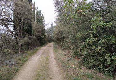
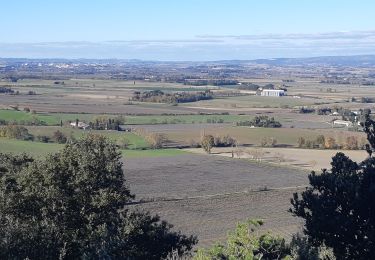
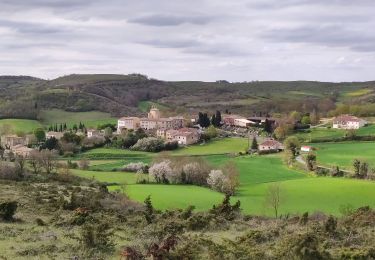
Trail Walking of 9.8 km to be discovered at Occitania, Aude, Cazalrenoux. This trail is proposed by Mamilaure.
Description
Belle rando moyenne
a éviter s'il fait tres chaud
Positioning
Country:
France
Region :
Occitania
Department/Province :
Aude
Municipality :
Cazalrenoux
Location:
Unknown
Start:(Dec)
Start:(UTM)
414651 ; 4783365 (31T) N.
Comments
Trails nearby
Boucle Saint Christol
Walking
Easy
Fonters-du-Razès,
Occitania,
Aude,
France
12.6 km | 16.3 km-effort
2h 48min
Yes
Boucle du Besplas
On foot
Easy
Villasavary,
Occitania,
Aude,
France
9.8 km | 12.7 km-effort
2h 52min
Yes
generville
Walking
Difficult
Generville,
Occitania,
Aude,
France
9.6 km | 13.2 km-effort
2h 56min
Yes
Pech de Cabrens b Air de Lavandebp
Walking
Easy
Villasavary,
Occitania,
Aude,
France
3.4 km | 4.7 km-effort
1h 3min
Yes
Pech de Cabrens Un air de lavande.
Walking
Easy
Villasavary,
Occitania,
Aude,
France
3.2 km | 4.5 km-effort
58min
Yes