7.6 km | 10.5 km-effort
fourg
GUYOTdaniel
User
Length
9 km
Max alt
287 m
Uphill gradient
86 m
Km-Effort
10.2 km
Min alt
260 m
Downhill gradient
86 m
Boucle
Yes
Creation date :
2022-11-16 13:38:37.616
Updated on :
2022-11-16 15:42:21.053
2h03
Difficulty : Very easy
FREE GPS app for hiking
About
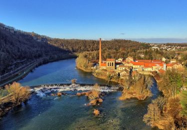
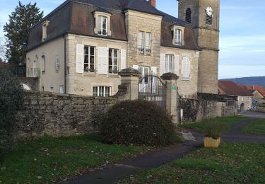
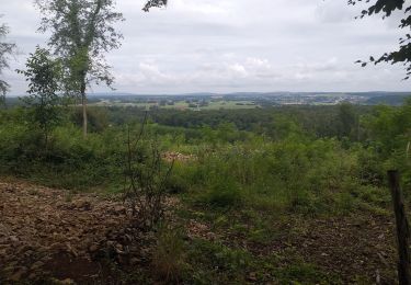
Trail Walking of 9 km to be discovered at Bourgogne-Franche-Comté, Doubs, Fourg. This trail is proposed by GUYOTdaniel.
Description
rando
Positioning
Country:
France
Region :
Bourgogne-Franche-Comté
Department/Province :
Doubs
Municipality :
Fourg
Location:
Unknown
Start:(Dec)
Start:(UTM)
713250 ; 5219847 (31T) N.
Comments
Trails nearby
Sentier sur les Roches
On foot
Easy
Osselle-Routelle,
Bourgogne-Franche-Comté,
Doubs,
France
2h 23min
Yes
Lombard
Walking
Medium
Lombard,
Bourgogne-Franche-Comté,
Doubs,
France
18.9 km | 24 km-effort
3h 18min
Yes
villars
Walking
Easy
Villars-Saint-Georges,
Bourgogne-Franche-Comté,
Doubs,
France
13.4 km | 16.9 km-effort
3h 32min
Yes
le château du marquis, abbans sous
Walking
Easy
(1)
Abbans-Dessous,
Bourgogne-Franche-Comté,
Doubs,
France
14.7 km | 20 km-effort
2h 17min
Yes
fourg 2023
Walking
Very easy
Fourg,
Bourgogne-Franche-Comté,
Doubs,
France
11.3 km | 13.3 km-effort
2h 33min
No
Osselle sablière
Walking
Very easy
Osselle-Routelle,
Bourgogne-Franche-Comté,
Doubs,
France
3.7 km | 3.8 km-effort
53min
Yes
Liesle - Pont-de-Poitte
Bicycle tourism
Difficult
Liesle,
Bourgogne-Franche-Comté,
Doubs,
France
77 km | 90 km-effort
4h 59min
No
VILLARS SAINT GEORGES FOURG
Walking
Difficult
Villars-Saint-Georges,
Bourgogne-Franche-Comté,
Doubs,
France
10.8 km | 13 km-effort
2h 56min
Yes
Fourg 24
Walking
Very easy
Fourg,
Bourgogne-Franche-Comté,
Doubs,
France
9.9 km | 12.1 km-effort
2h 20min
Yes