


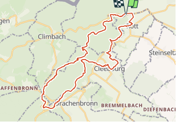

23 km | 32 km-effort


User


FREE GPS app for hiking
 SityTrail
IGN / Geographical institutes
SityTrail World
The world is yours!
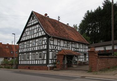
Trail Walking of 21 km to be discovered at Grand Est, Bas-Rhin, Wissembourg. This trail is proposed by MAD-CVW.
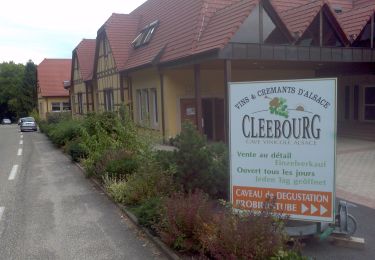
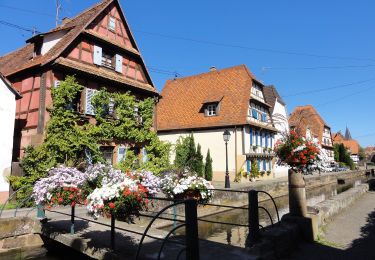
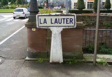
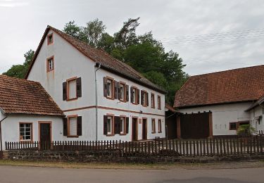
Départ du parking de la MF Scherhol par GR vers l'Est, 1ère intersection, traverser la D3 en suivant l'anneau vert. A la üte, table d'orientation, prendre à droite pour suivre l'anneau rouge/sentier découverte qui traverse Rott, puis la forêt pour aboutir à la D77 au niveau de l'hotel-Resto Le Cleebourg. La traverser et et suivre le disque jaune qui tourne à droite après quelques mètres. Traverser Cleebourg en suivant disque jaune jusqu'au parking près D77 à traverser pour monter à droite et rejoindre disque rouge (ou prendre à droite à la sortie du village par la rue Kappen et traverser D77, sentier montant à gauche en face pour rejoindre l'itinéraire disque rouge en forêt du Schlossberg). Suivre disque rouge à gauche, passage du fossé anti-char. Au lieu dit Stiefelsberg, aller tout droit par sentier non balisé pour passer près des ouvrages ligne Maginot et terrain militaire de l'ancien camp de Drachenbronn. A la jonction avec disque jaune/disque rouge, suivre ce balisage jusqu'au moulin/restaurant des 7 Fontaines. Traverser la D77 et monter en face l'itinéraire rectangle bleu. A la troisième traversée de la route, au carrefour, suivre la route vers le col du Pfaffenschlick, puis 1er chemin à droite non balisé jusqu'au col. Au niveau du restaurant suivre le GR rectangle jaune avec passage du fossé anti-char, puis à droite la croix rouge qui passe au col du Stiefelsberg, un très beau sentier versant est du Schlossberg qui mène au parking de la MF Scherhol.

Mountain bike
On foot
On foot
On foot
On foot
On foot
On foot