


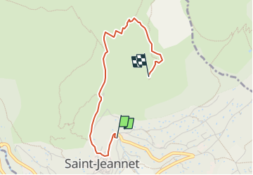

7.5 km | 13.4 km-effort


User


FREE GPS app for hiking
 SityTrail
IGN / Geographical institutes
SityTrail World
The world is yours!
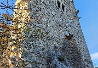
Trail Walking of 2.9 km to be discovered at Provence-Alpes-Côte d'Azur, Maritime Alps, Saint-Jeannet. This trail is proposed by santaflor.
Au départ du parking de Saint Jeannet.
Le retour se fera par le même itinéraire,donc à prendre en compte dans le calcul de la randonnée.
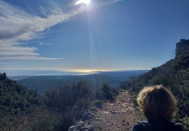
Intérêts: Panorama et Le Chêne Centenaire.
Walking
On foot

On foot

On foot

On foot
On foot

Walking

Walking
Walking