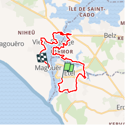

13.3 km | 14.5 km-effort


User GUIDE


FREE GPS app for hiking
 SityTrail
IGN / Geographical institutes
SityTrail World
The world is yours!
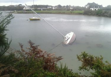
Trail Walking of 16 km to be discovered at Brittany, Morbihan, Étel. This trail is proposed by yago1404.
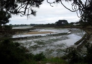
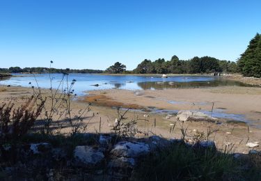
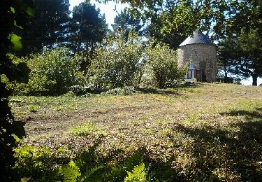
Depuis le plan d'eau, on longe la plage pour ejoindre la gendarmerie et faire le tour de la commune jusqu'au moulins du Sac'h et du Bignac. On longe la rivière du Sac'h puis la Ria jusqu'au pont Lorois avant de rejoindre l'autre rive jusqu'au Magouër.
Nordic walking
Walking

Walking
Nordic walking

Walking

Other activity

Walking