

La Croix de Gouret

rapako
User

Length
9.5 km

Max alt
1674 m

Uphill gradient
610 m

Km-Effort
17.6 km

Min alt
1061 m

Downhill gradient
620 m
Boucle
Yes
Creation date :
2022-11-08 08:45:38.0
Updated on :
2022-11-08 16:03:54.162
3h45
Difficulty : Medium

FREE GPS app for hiking
About
Trail Walking of 9.5 km to be discovered at Auvergne-Rhône-Alpes, Isère, Villard-Saint-Christophe. This trail is proposed by rapako.
Description
EN dessous du "Bois de Bouilloud" il ne faut pas prendre le chemin large, type route forestière. Le chemin à prendre ne correspond pas au tracé IGN. Marchez un peu sur cette route puis chemin sur la droite.
Positioning
Country:
France
Region :
Auvergne-Rhône-Alpes
Department/Province :
Isère
Municipality :
Villard-Saint-Christophe
Location:
Unknown
Start:(Dec)
Start:(UTM)
721231 ; 4984559 (31T) N.
Comments
Trails nearby
Le perollier, le Grand Serre


Touring skiing
Medium
Saint-Honoré,
Auvergne-Rhône-Alpes,
Isère,
France

15.4 km | 33 km-effort
6h 29min
Yes
Tabor de la Mûre


Touring skiing
Easy
Saint-Honoré,
Auvergne-Rhône-Alpes,
Isère,
France

10.7 km | 24 km-effort
5h 8min
Yes
PF-Pierre-Châtel - La Pierre Percée


Walking
Difficult
Pierre-Châtel,
Auvergne-Rhône-Alpes,
Isère,
France

8.4 km | 12.9 km-effort
3h 46min
Yes

Tour des lacs Pierre-Chatel


Mountain bike
Very easy
(1)
Pierre-Châtel,
Auvergne-Rhône-Alpes,
Isère,
France

32 km | 46 km-effort
4h 28min
Yes
tour du lac de la laffrey


Walking
Difficult
Laffrey,
Auvergne-Rhône-Alpes,
Isère,
France

11.3 km | 15.6 km-effort
2h 59min
Yes
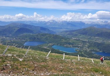
Le Grand Serre


Walking
Difficult
Saint-Honoré,
Auvergne-Rhône-Alpes,
Isère,
France

13.1 km | 23 km-effort
6h 0min
Yes
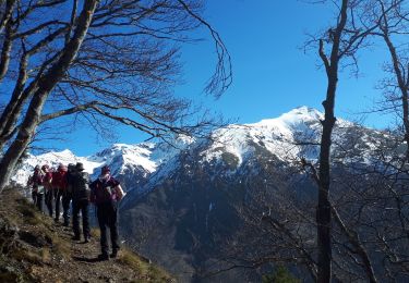
La cabane de Poyet en circuit


Walking
Medium
La Valette,
Auvergne-Rhône-Alpes,
Isère,
France

9.1 km | 17.8 km-effort
4h 17min
Yes
Cabane ONF du Poyet, depuis la Valette


Walking
Medium
La Valette,
Auvergne-Rhône-Alpes,
Isère,
France

10.1 km | 19.5 km-effort
2h 40min
Yes

Tabor de Matheysine en circuit


Walking
Medium
(1)
Saint-Honoré,
Auvergne-Rhône-Alpes,
Isère,
France

13.2 km | 25 km-effort
5h 55min
Yes


 SityTrail


