


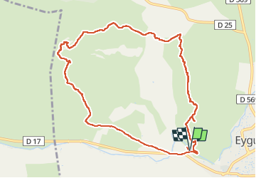

8.8 km | 11.4 km-effort


User


FREE GPS app for hiking
 SityTrail
IGN / Geographical institutes
SityTrail World
The world is yours!
Trail Walking of 11 km to be discovered at Provence-Alpes-Côte d'Azur, Bouches-du-Rhône, Eyguières. This trail is proposed by Levant .
Départ du parking du Mont Menu
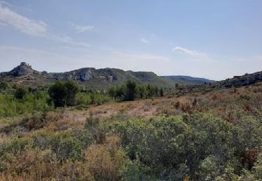
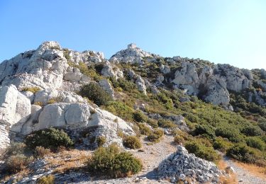
Début de m'ascension par les Barres Rouges jusqu'a la tour de guet de opies.
Descente par le val de Lègue
Vestiges de la villa romaine
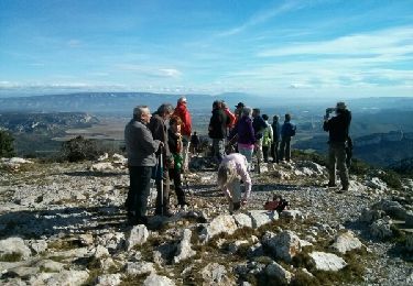
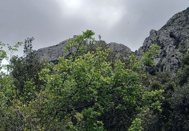
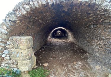
Ascension du Mont Menu, traversée de la grotte
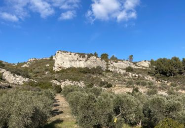
Suivre les crêtes du Coste Ferre
Retour au parking
Walking
Walking

Walking
Walking
Walking

Walking
Walking
Walking

Walking