


136 km | 279 km-effort

User


FREE GPS app for hiking
 SityTrail
IGN / Geographical institutes
SityTrail World
The world is yours!
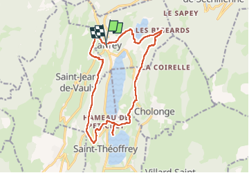
Trail Walking of 17.5 km to be discovered at Auvergne-Rhône-Alpes, Isère, Laffrey. This trail is proposed by Emelle.
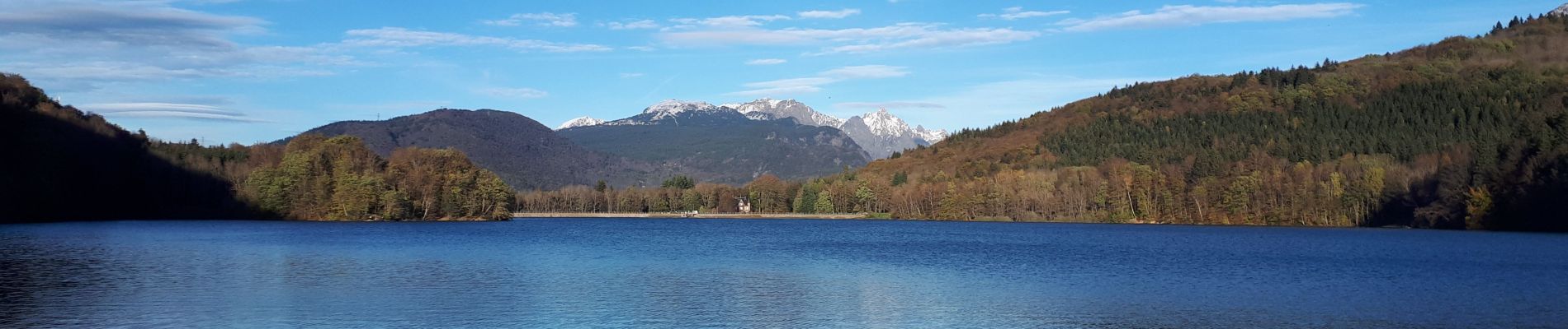
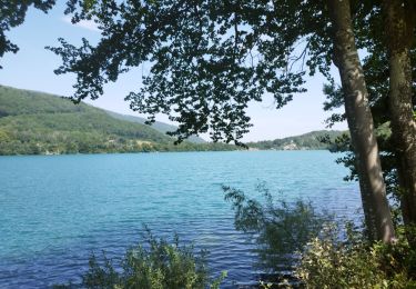
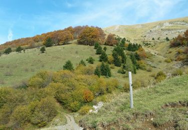
Beau circuit automnal avec de points de vue sur les montagnes environnantes et les lacs.
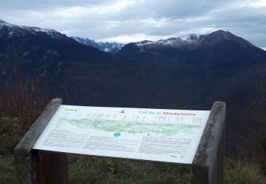
Arrêt au belvédère d'Olivier Messian très instructif.
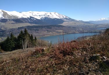
Pique-nique sur la plage du lac de Petichet.
Retour modifié pour éviter la route départementale très passante du ait de la déviation, augmentant un peu le dénivelé et rajoutant un peu de distance.
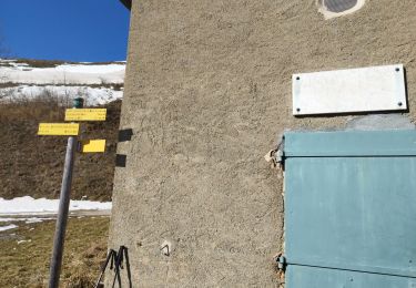
A voir si la piste à la côte 2022 sur le GR 965 ne serait pas plus intéressante avec un montée régulière jusqu'à la côte 1066.
La piste (au niveau Le Plat) permettant d'éviter d'aller jusqu'aux Bigeards n'existent plus.


Running

Walking
Walking
Walking
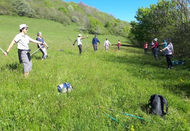
Nordic walking
Walking
Walking
Walking

Walking