


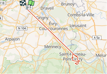

15.5 km | 19.1 km-effort


User


FREE GPS app for hiking
 SityTrail
IGN / Geographical institutes
SityTrail World
The world is yours!
Trail Walking of 60 km to be discovered at Ile-de-France, Essonne, Longjumeau. This trail is proposed by JacquesMARQUET.
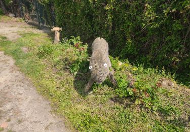
Belle rando de 15 km. Ne pas tenir compte de la distance annoncée (erreur de manipulation).
Walking

Walking
Walking

Walking
On foot

On foot


Walking
Walking