


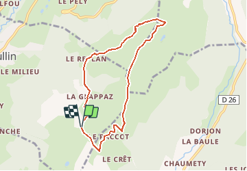

11.3 km | 23 km-effort


User


FREE GPS app for hiking
 SityTrail
IGN / Geographical institutes
SityTrail World
The world is yours!
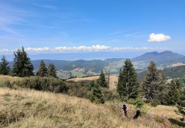
Trail Walking of 7.3 km to be discovered at Auvergne-Rhône-Alpes, Upper Savoy, Habère-Lullin. This trail is proposed by tonymeyer.
En partant du parking de La Glappaz, circuit dans le sens des aiguilles d'une montre.
Passage raide sous le téléski puis un peu aérien sur les crêtes.

Walking
Walking
Walking
Walking

Running
Walking
Running
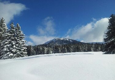
Snowshoes
Walking