


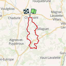

9.3 km | 11.4 km-effort


User


FREE GPS app for hiking
 SityTrail
IGN / Geographical institutes
SityTrail World
The world is yours!
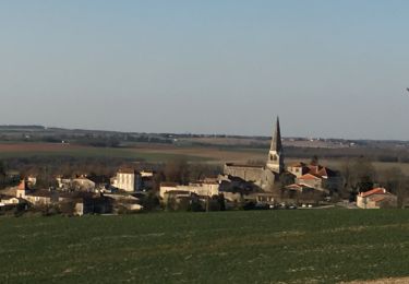
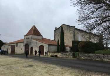
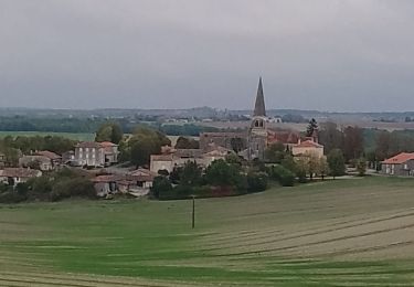
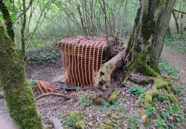
Trail Equestrian of 21 km to be discovered at New Aquitaine, Charente, Boisné-la-Tude. This trail is proposed by jmrobin.
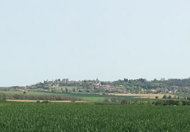
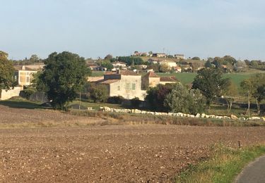
Circuit proposé dans le cadre de Charmant à Chevall. Attention, certains chemins sont privés donc peuvent être inaccessibles en temps normal.
Walking
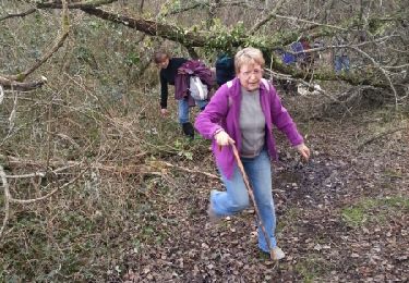
Walking
Walking
Walking
Walking
Walking
Walking

Walking
Walking