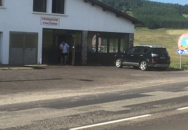
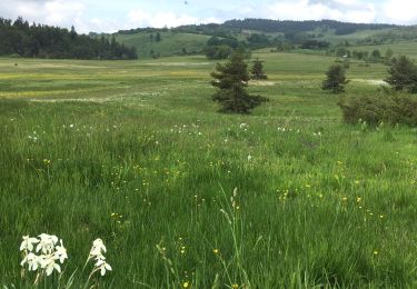
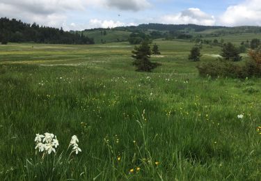
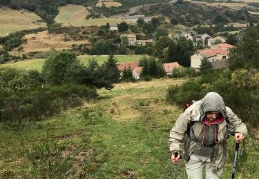
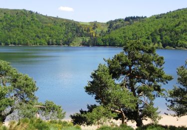
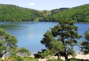
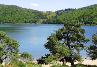
17 km | 23 km-effort
2/5: Issanlas-Villevieille
ggayet
User
Length
27 km
Max alt
1497 m
Uphill gradient
930 m
Km-Effort
39 km
Min alt
885 m
Downhill gradient
788 m
Boucle
No
Creation date :
2014-12-10 00:00:00.0
Updated on :
2014-12-10 00:00:00.0
8h08
Difficulty : Medium
FREE GPS app for hiking
About
Trail Walking of 27 km to be discovered at Auvergne-Rhône-Alpes, Ardèche, Issanlas. This trail is proposed by ggayet.
Description
Langogne - la Bastide Puy-Laurent en 5 jours
Positioning
Country:
France
Region :
Auvergne-Rhône-Alpes
Department/Province :
Ardèche
Municipality :
Issanlas
Location:
Unknown
Start:(Dec)
Start:(UTM)
580105 ; 4957353 (31T) N.
Comments
Trails nearby
lanarce la villa te par
Walking
Medium
(1)
Lanarce,
Auvergne-Rhône-Alpes,
Ardèche,
France
4h 50min
Yes
La tour de Villeneuve
Walking
Medium
Coucouron,
Auvergne-Rhône-Alpes,
Ardèche,
France
12.6 km | 16.4 km-effort
3h 6min
Yes
SityTrail - 2820318 - coucouron-x-moulin-courbet (1)
Walking
Easy
Coucouron,
Auvergne-Rhône-Alpes,
Ardèche,
France
13.8 km | 17.7 km-effort
4h 1min
Yes
Coucouron - Moulin Courbet
Walking
Difficult
(1)
Coucouron,
Auvergne-Rhône-Alpes,
Ardèche,
France
13.8 km | 17.8 km-effort
4h 15min
Yes
s'y cirgues en montagne
Walking
Easy
Mazan-l'Abbaye,
Auvergne-Rhône-Alpes,
Ardèche,
France
17.2 km | 23 km-effort
4h 27min
No
Boucle Le Bouteirou - Mont Gerbier de Jonc - Etape 1
Equestrian
Medium
Mazan-l'Abbaye,
Auvergne-Rhône-Alpes,
Ardèche,
France
30 km | 42 km-effort
4h 30min
No
Boucle Le Bouteirou - Mont Gerbier de Jonc - Etape 1
Mountain bike
Medium
Mazan-l'Abbaye,
Auvergne-Rhône-Alpes,
Ardèche,
France
30 km | 42 km-effort
3h 0min
No
Boucle Le Bouteirou - Mont Gerbier de Jonc - Etape 1
Walking
Difficult
Mazan-l'Abbaye,
Auvergne-Rhône-Alpes,
Ardèche,
France
30 km | 42 km-effort
6h 30min
No
pradelles 19/6/2022
Walking
Easy
Lavillatte,
Auvergne-Rhône-Alpes,
Ardèche,
France
32 km | 40 km-effort
6h 54min
No